














 Rivers
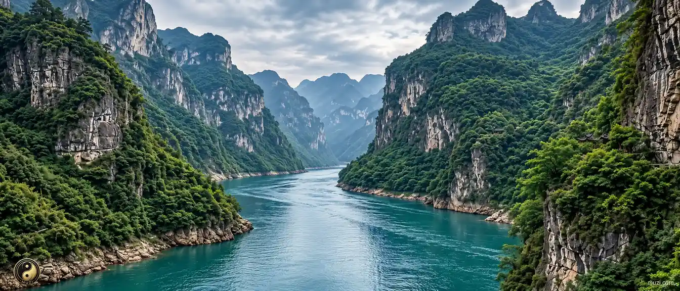
Yangtze River
Asia's longest river, flowing six thousand kilometers from the Tibetan Plateau to the East China Sea — the aorta and golden waterway of Chinese civilization.
 MUZIChinese Matrix
Rivers trace the land’s living arteries, linking headwaters, valleys, floodplains, and the communities shaped by flowing water.

Mountain ranges and massifs define the relief, climate, habitats, and horizons of an expansive landscape.

Basins gather mountains, rivers, settlements, and routes within a shared geographic bowl.

Plains open broad, level ground where rivers, soils, settlements, and cultivation can extend across wide horizons.

Plateaus rise as broad elevated lands, joining distinctive climates, grasslands, watersheds, and highland ways of life.

Rivers trace the land’s living arteries, linking headwaters, valleys, floodplains, and the communities shaped by flowing water.

Lakes gather water into enduring basins, shaping shorelines, wetlands, local climates, and the life around their shores.

Gorges compress rivers, cliffs, habitats, and routes into dramatic corridors carved through resistant terrain.

Deserts are arid landscapes where wind, stone, sand, sparse water, and resilient life define the regional character.

Forests weave trees, soils, water, wildlife, and layered habitats into a living ecological landscape.

Grasslands stretch across open country, where seasonal water, grazing, wind, and wildlife shape a mobile living landscape.

Wetlands hold water between land and aquatic worlds, supporting migratory routes, nurseries, flood storage, and rich habitats.

Saltwater forests where tidal roots shelter the living edge of land and sea.

Danxia terrain links red sandstone relief with forests, streams, and living mountain habitats.

Mountain passes turn difficult relief into traversable gateways, guiding movement, exchange, and the history of connected regions.

Civil works reshape terrain through canals, walls, roads, irrigation, and other engineered systems that organize movement and water.

Bridges link separated shores and landscapes, becoming infrastructure systems that carry movement, exchange, and shared regional life.

Regional corridors connect diverse terrains and communities through routes of movement, exchange, and shared geographic identity.

Harbors are sheltered waters where coastlines, shipping routes, working waterfronts, and urban exchange meet.

Islands are landforms set apart by water, carrying distinctive coastlines, ecosystems, settlements, and connections across the sea.

Coastal regions bring land, sea, estuaries, islands, and shore-based communities into one connected geographic system.

Historic cities preserve urban fabrics where streets, buildings, memories, and living communities carry accumulated history.

Historical villages and towns retain vernacular streets, local lifeways, and built landscapes shaped through generations.

Historic sites anchor a place in tangible remains, archaeological traces, and memories of events or communities.

Imperial tombs combine funerary landscapes, ceremonial architecture, burial grounds, and dynastic memory at territorial scale.

Temples are living sacred complexes where worship, architecture, landscape, and community traditions meet.

Grottoes unite carved stone spaces, sacred images, geology, and artistic traditions within a monumental cultural landscape.

Churches are active sacred buildings and complexes where worship, architecture, community life, and local history remain intertwined.

Ceremonial sites give collective rites a physical setting, joining sacred practice, public memory, and designed space.
Rivers
Asia's longest river, flowing six thousand kilometers from the Tibetan Plateau to the East China Sea — the aorta and golden waterway of Chinese civilization.
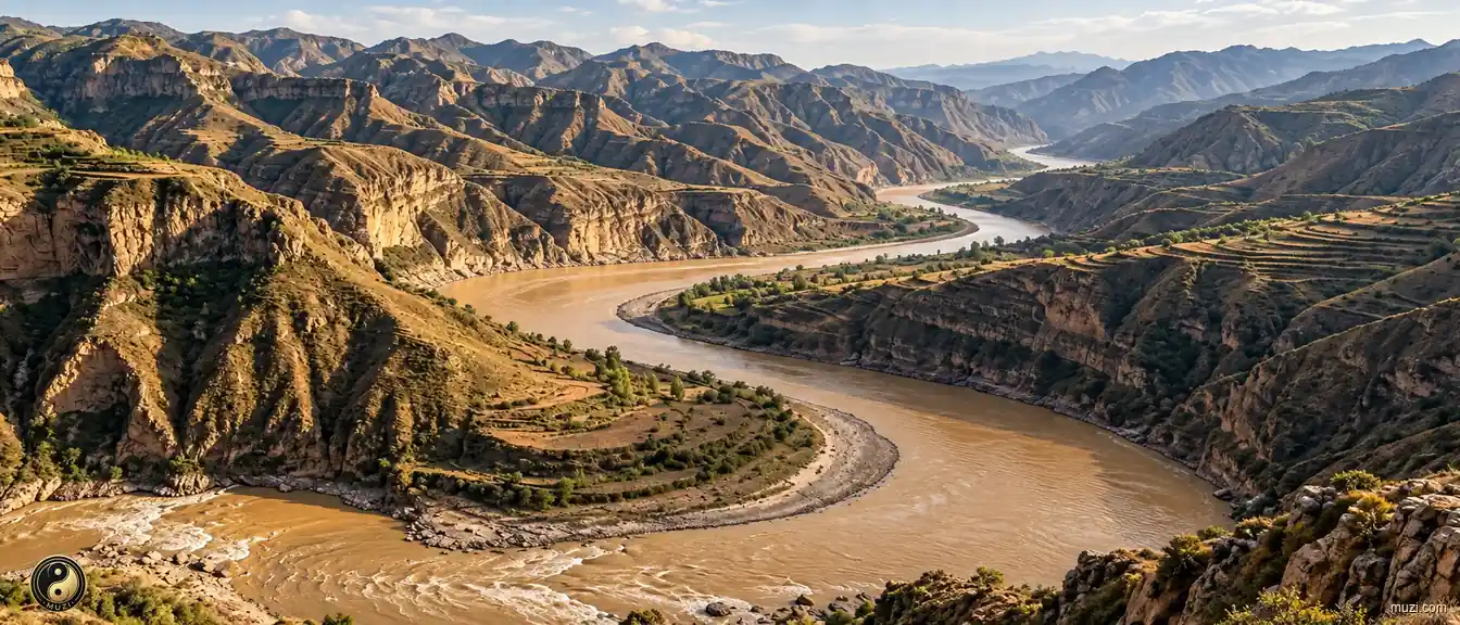 Rivers
The Yellow River carries loess to the sea and remains a major river in the history of Chinese agrarian civilization.
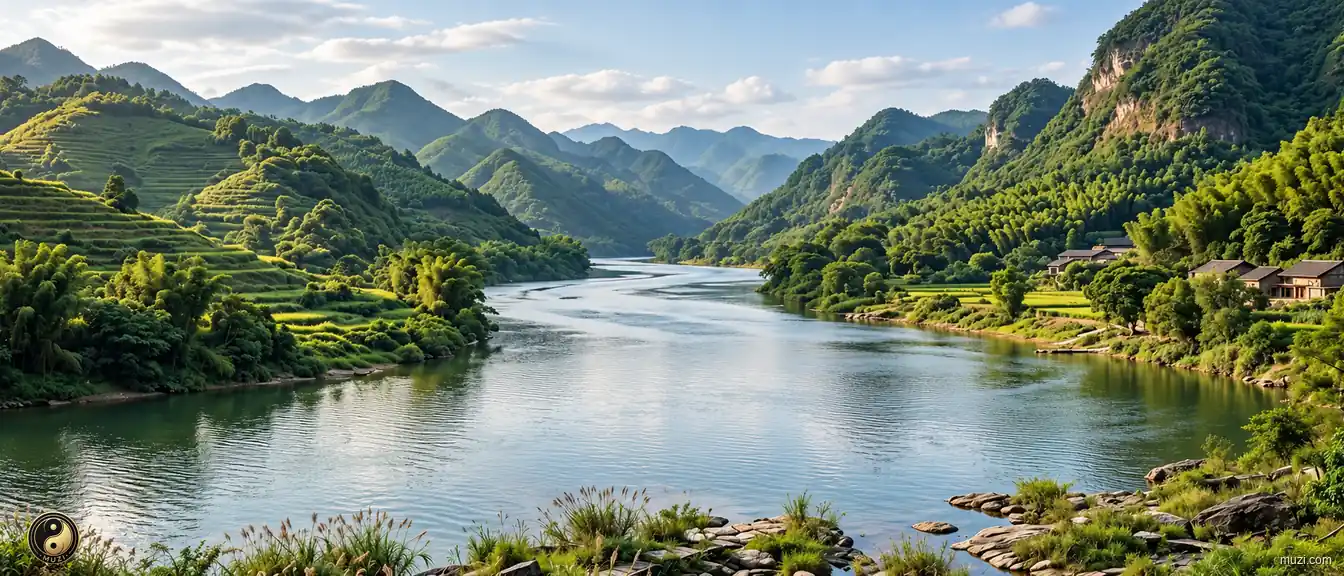 Rivers
The Pearl River forms a major water network through the delta, linking South China Sea routes with regional trade.
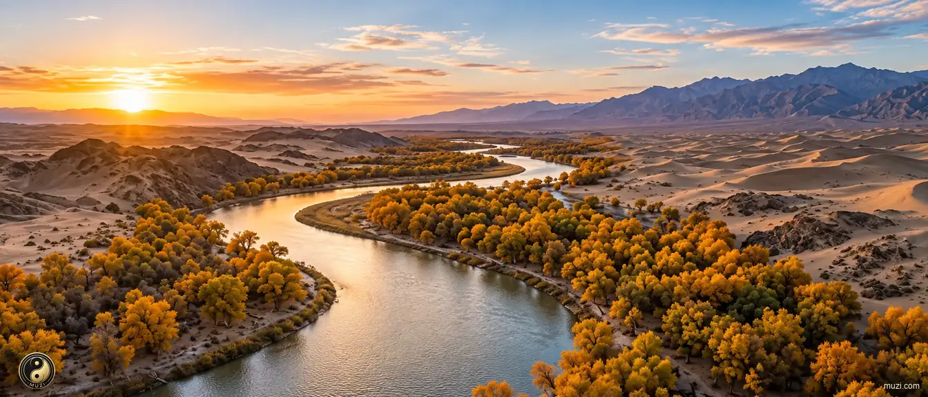 Rivers
A hidden river flowing silently beneath the Taklamakan Desert — fed by Tianshan snowmelt, the underground lifeline sustaining desert oases.
 Rivers
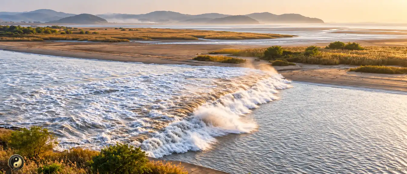
The world's greatest tidal bore — every year on the eighteenth day of the eighth lunar month, a wall of water roars into Hangzhou Bay with earth-shaking fury.
 Rivers
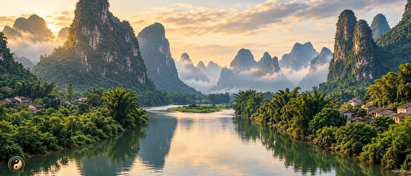
The Li River winds through karst peaks, its reflections sustaining a classic landscape-painting tradition.
 Rivers
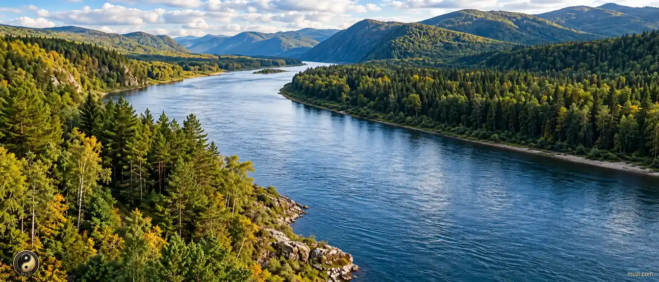
The Heilongjiang runs along an international border, freezing for much of the year beside northeastern wetlands and farmland.
 Rivers
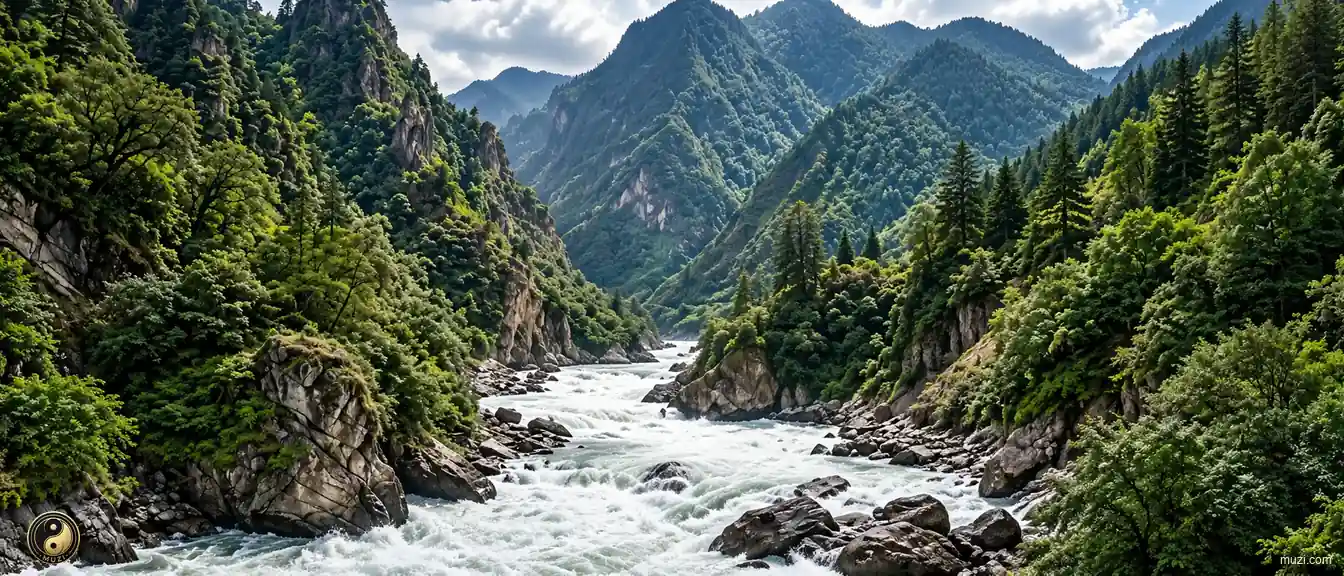
A great international river surging down from the Tibetan Plateau — cutting through deep gorges in Yunnan before nourishing the entire Indochina Peninsula downstream as the Mekong.
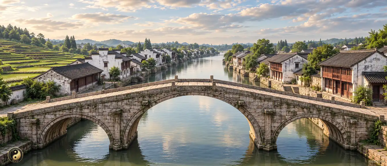 Civil Works
The world's longest man-made waterway — crossing five major river systems to connect north and south, continuously pumping southern grain and wealth into the empire's heart.
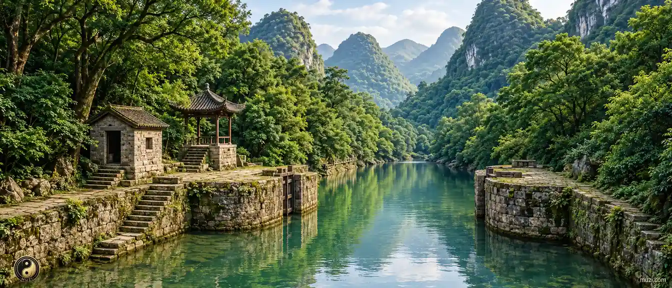 Civil Works
The Lingqu Canal crosses the Xiang-Li watershed to connect the Yangtze and Pearl River systems as an early cross-basin waterway.
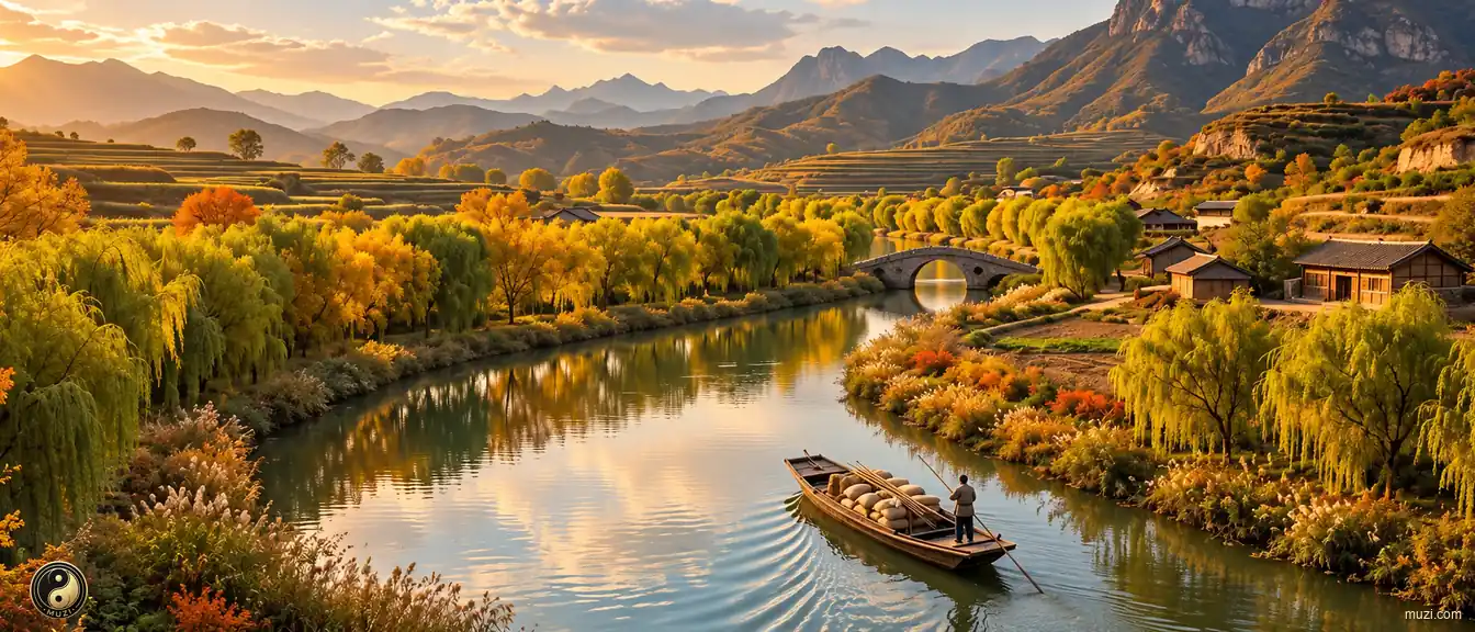 Civil Works
Emperor Yang of Sui's super waterway network — a herringbone pattern connecting the entire empire, maximizing the bandwidth for pumping Jiangnan wealth to the imperial center.
No Matrix entries match this region.