














 Historic Site
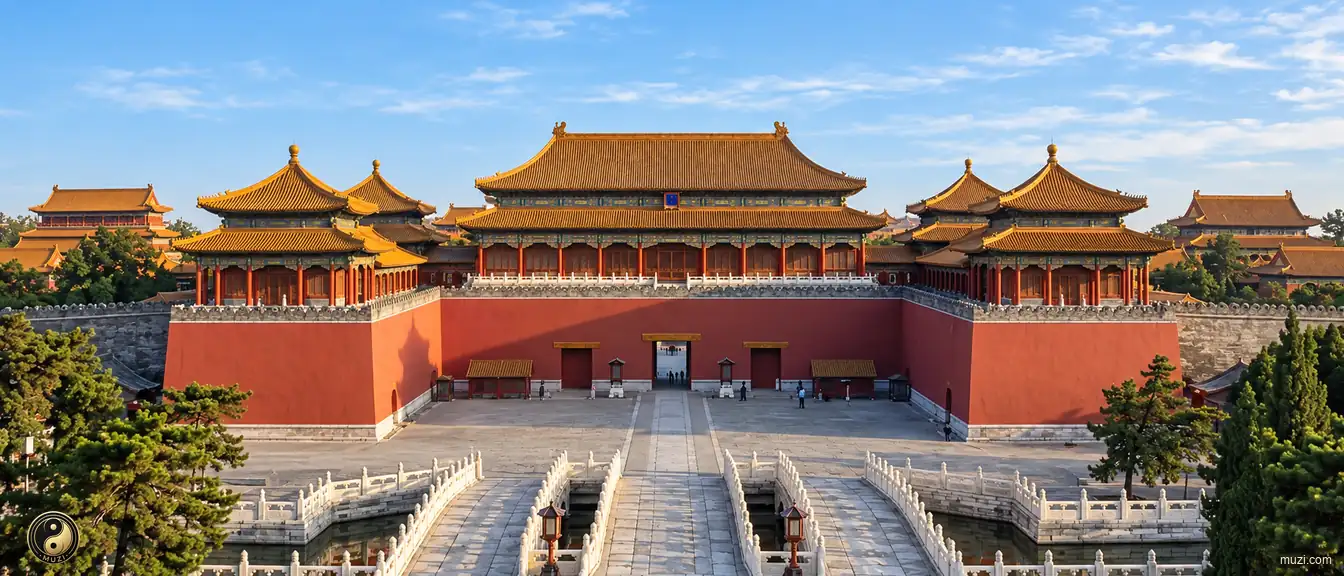
Beijing Central Axis
A north–south urban axis through Beijing's historic heart, uniting 15 heritage components and a capital-planning tradition rooted in the Yuan founding of Dadu.
 MUZIChinese Matrix
Historic sites anchor a place in tangible remains, archaeological traces, and memories of events or communities.

Mountain ranges and massifs define the relief, climate, habitats, and horizons of an expansive landscape.

Basins gather mountains, rivers, settlements, and routes within a shared geographic bowl.

Plains open broad, level ground where rivers, soils, settlements, and cultivation can extend across wide horizons.

Plateaus rise as broad elevated lands, joining distinctive climates, grasslands, watersheds, and highland ways of life.

Rivers trace the land’s living arteries, linking headwaters, valleys, floodplains, and the communities shaped by flowing water.

Lakes gather water into enduring basins, shaping shorelines, wetlands, local climates, and the life around their shores.

Gorges compress rivers, cliffs, habitats, and routes into dramatic corridors carved through resistant terrain.

Deserts are arid landscapes where wind, stone, sand, sparse water, and resilient life define the regional character.

Forests weave trees, soils, water, wildlife, and layered habitats into a living ecological landscape.

Grasslands stretch across open country, where seasonal water, grazing, wind, and wildlife shape a mobile living landscape.

Wetlands hold water between land and aquatic worlds, supporting migratory routes, nurseries, flood storage, and rich habitats.

Saltwater forests where tidal roots shelter the living edge of land and sea.

Danxia terrain links red sandstone relief with forests, streams, and living mountain habitats.

Mountain passes turn difficult relief into traversable gateways, guiding movement, exchange, and the history of connected regions.

Civil works reshape terrain through canals, walls, roads, irrigation, and other engineered systems that organize movement and water.

Bridges link separated shores and landscapes, becoming infrastructure systems that carry movement, exchange, and shared regional life.

Regional corridors connect diverse terrains and communities through routes of movement, exchange, and shared geographic identity.

Harbors are sheltered waters where coastlines, shipping routes, working waterfronts, and urban exchange meet.

Islands are landforms set apart by water, carrying distinctive coastlines, ecosystems, settlements, and connections across the sea.

Coastal regions bring land, sea, estuaries, islands, and shore-based communities into one connected geographic system.

Historic cities preserve urban fabrics where streets, buildings, memories, and living communities carry accumulated history.

Historical villages and towns retain vernacular streets, local lifeways, and built landscapes shaped through generations.

Historic sites anchor a place in tangible remains, archaeological traces, and memories of events or communities.

Imperial tombs combine funerary landscapes, ceremonial architecture, burial grounds, and dynastic memory at territorial scale.

Temples are living sacred complexes where worship, architecture, landscape, and community traditions meet.

Grottoes unite carved stone spaces, sacred images, geology, and artistic traditions within a monumental cultural landscape.

Churches are active sacred buildings and complexes where worship, architecture, community life, and local history remain intertwined.

Ceremonial sites give collective rites a physical setting, joining sacred practice, public memory, and designed space.
Historic Site
A north–south urban axis through Beijing's historic heart, uniting 15 heritage components and a capital-planning tradition rooted in the Yuan founding of Dadu.
 Historic Site
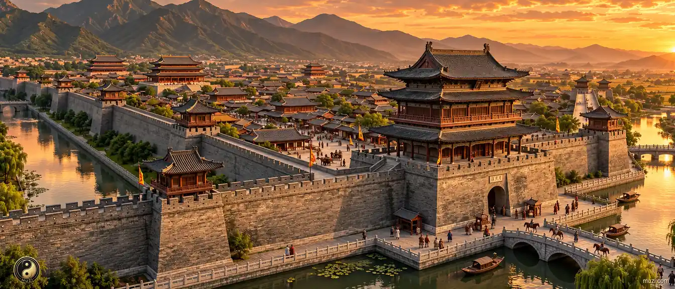
Sui-Tang Chang'an — one hundred and eight wards laid out like a chessboard grid, the largest and most orderly imperial capital planning masterpiece of the ancient world.
 Historic Site
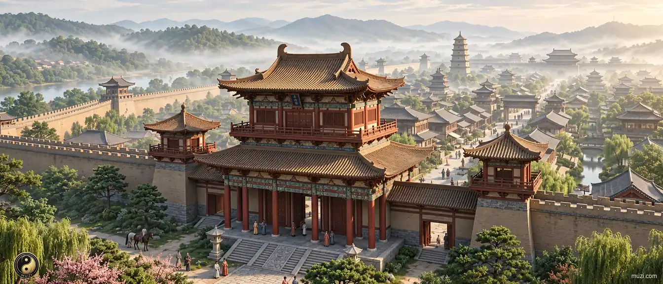
Luoyang, Center of All Under Heaven — the survey benchmark established at the Gaocheng Observatory, capital of thirteen dynasties, the orthodox capital coordinate every emperor dreamed of anchoring legitimacy to.
 Historic Site
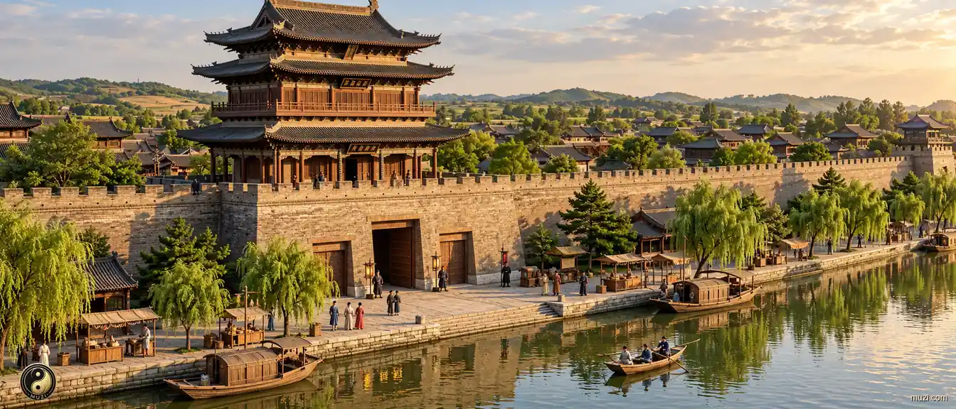
Northern Song Kaifeng's waterways opened space for night markets and urban life beyond the ward walls.
 Historic Site
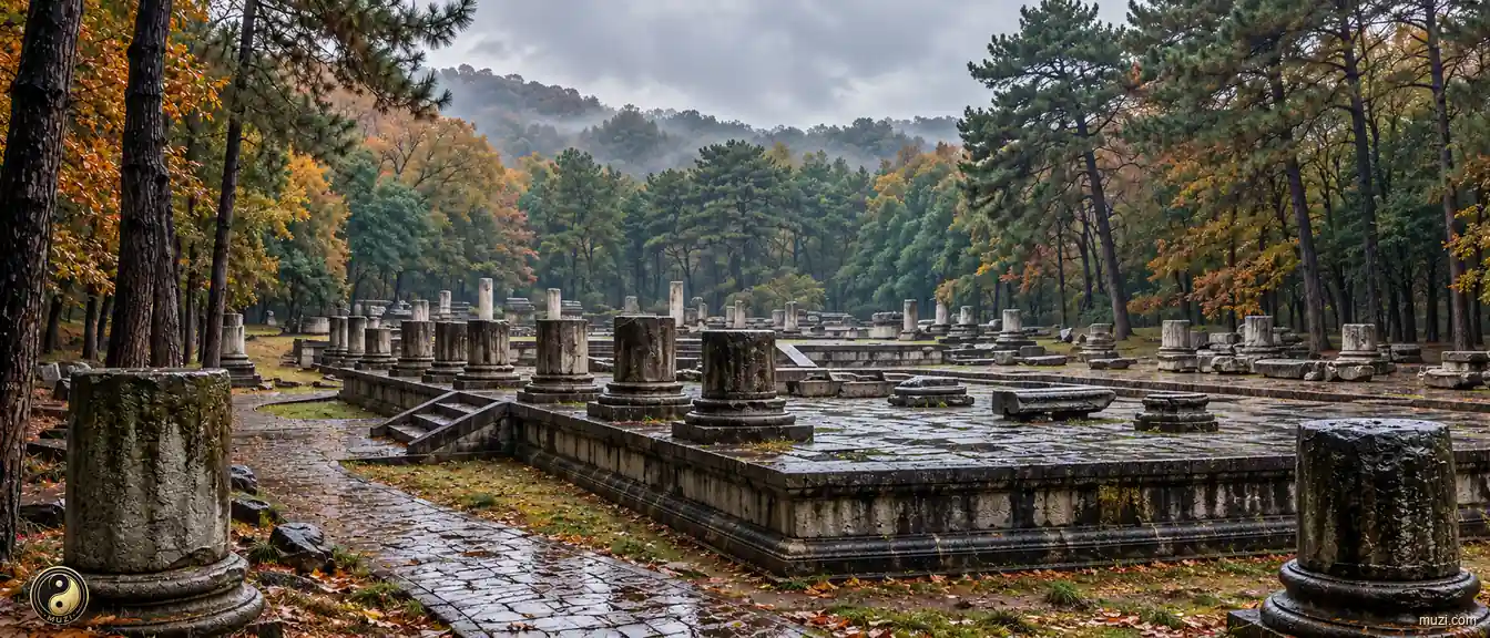
The Ming Palace ruins of Nanjing — capital of six dynasties and ten kingdoms, where every time the north fell, Han regimes retreated here to continue the mantle of Chinese civilization.
 Historic Site
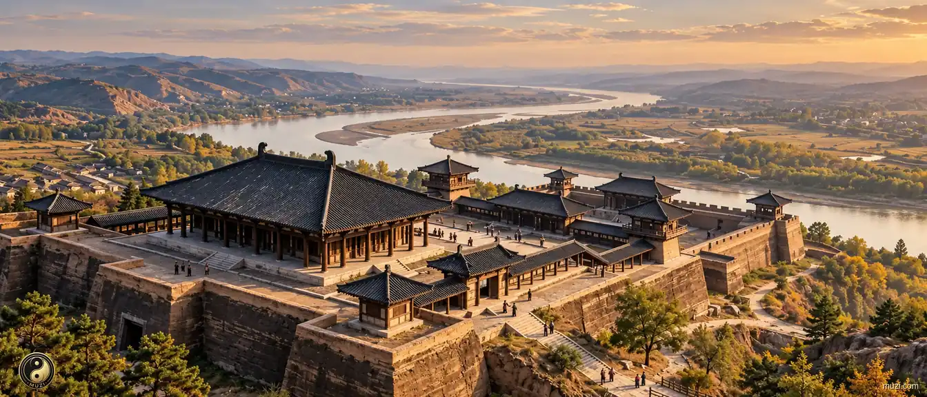
The Qin Xianyang Palace ruins — spanning the Wei River, mapping its separate halls onto the constellations, humanity's earliest super-stage for performing sovereignty through landscape geometry.
 Historic Site
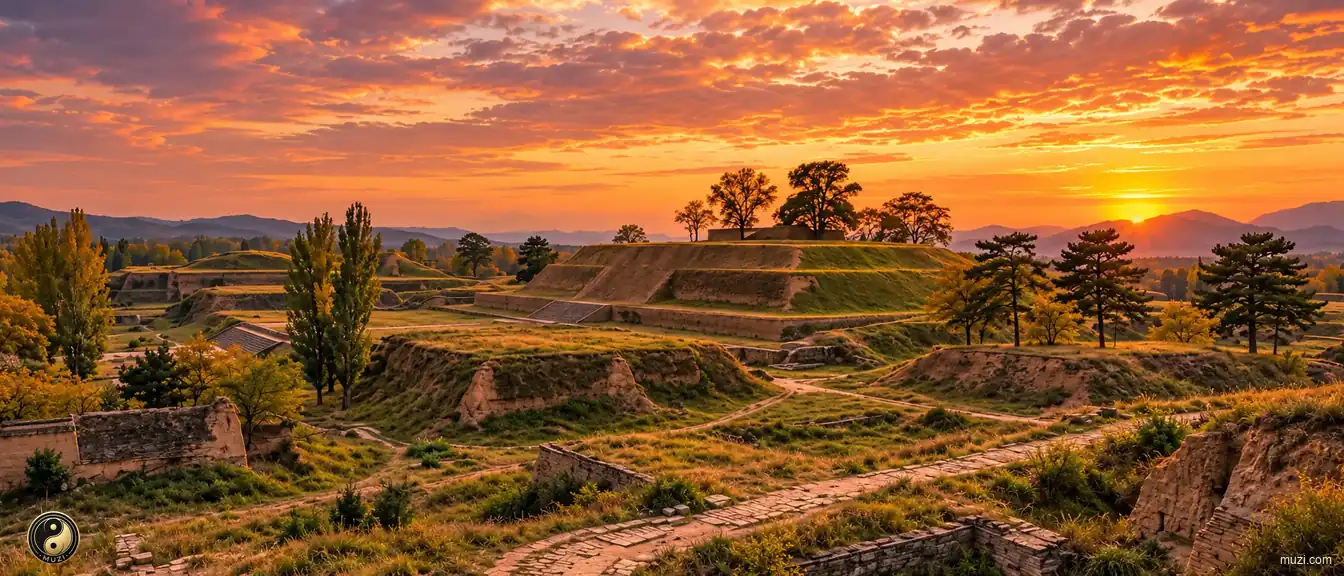
The Han Weiyang Palace ruins — a monumental palace built atop a colossal rammed-earth platform, using extreme vertical perspective to manufacture suffocating awe before imperial authority.
 Historic Site
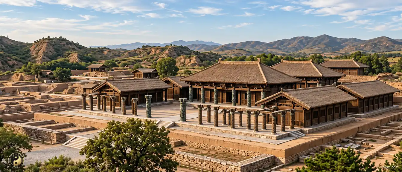
The ruins of Yin at Anyang — where oracle bones were unearthed, the Shang ancestral temples and bronze foundries, the dawn of Chinese written history and the pinnacle of the Bronze Age.
 Historic Site
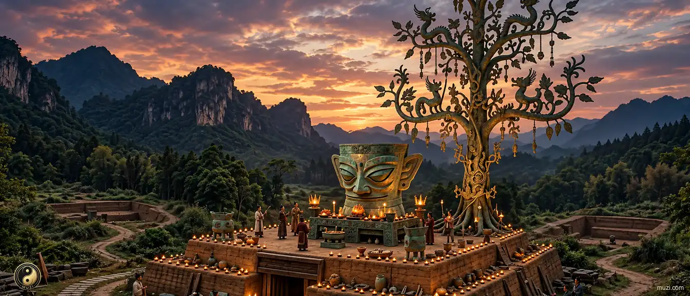
The Sanxingdui ruins — a bronze sacred tree and golden masks that stunned the world, a mysterious ancient Shu civilization center operating on a completely different ritual logic from the Yellow River basin.
 Historic Site
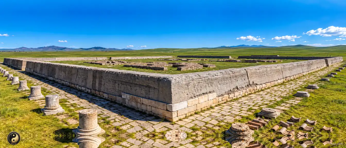
The Yuan Upper Capital ruins — a surreal dual capital nesting the rectangular Han axial grid within the circular nomadic tent ethic on the vast grassland, the northern power gateway of the Mongol empire.
 Historic Site
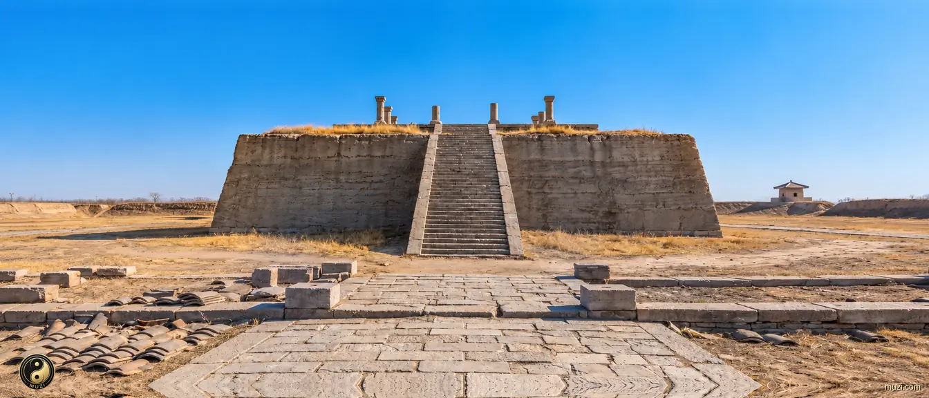
The Cao-Wei Ye City ruins — the first capital to isolate the ruler's core citadel outside the grid of wards, shattering the Han chaos of mixed officials and commoners, the ancestral template for a thousand years of rigidly compartmentalized imperial city planning.
No Matrix entries match this region.