














 Civil Works
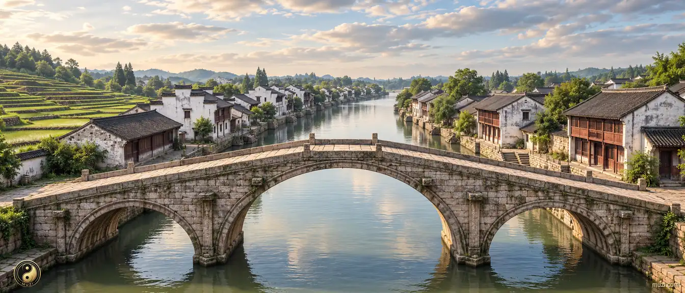
Grand Canal
The world's longest man-made waterway — crossing five major river systems to connect north and south, continuously pumping southern grain and wealth into the empire's heart.
 MUZIChinese Matrix
Civil works reshape terrain through canals, walls, roads, irrigation, and other engineered systems that organize movement and water.

Mountain ranges and massifs define the relief, climate, habitats, and horizons of an expansive landscape.

Basins gather mountains, rivers, settlements, and routes within a shared geographic bowl.

Plains open broad, level ground where rivers, soils, settlements, and cultivation can extend across wide horizons.

Plateaus rise as broad elevated lands, joining distinctive climates, grasslands, watersheds, and highland ways of life.

Rivers trace the land’s living arteries, linking headwaters, valleys, floodplains, and the communities shaped by flowing water.

Lakes gather water into enduring basins, shaping shorelines, wetlands, local climates, and the life around their shores.

Gorges compress rivers, cliffs, habitats, and routes into dramatic corridors carved through resistant terrain.

Deserts are arid landscapes where wind, stone, sand, sparse water, and resilient life define the regional character.

Forests weave trees, soils, water, wildlife, and layered habitats into a living ecological landscape.

Grasslands stretch across open country, where seasonal water, grazing, wind, and wildlife shape a mobile living landscape.

Wetlands hold water between land and aquatic worlds, supporting migratory routes, nurseries, flood storage, and rich habitats.

Saltwater forests where tidal roots shelter the living edge of land and sea.

Danxia terrain links red sandstone relief with forests, streams, and living mountain habitats.

Mountain passes turn difficult relief into traversable gateways, guiding movement, exchange, and the history of connected regions.

Civil works reshape terrain through canals, walls, roads, irrigation, and other engineered systems that organize movement and water.

Bridges link separated shores and landscapes, becoming infrastructure systems that carry movement, exchange, and shared regional life.

Regional corridors connect diverse terrains and communities through routes of movement, exchange, and shared geographic identity.

Harbors are sheltered waters where coastlines, shipping routes, working waterfronts, and urban exchange meet.

Islands are landforms set apart by water, carrying distinctive coastlines, ecosystems, settlements, and connections across the sea.

Coastal regions bring land, sea, estuaries, islands, and shore-based communities into one connected geographic system.

Historic cities preserve urban fabrics where streets, buildings, memories, and living communities carry accumulated history.

Historical villages and towns retain vernacular streets, local lifeways, and built landscapes shaped through generations.

Historic sites anchor a place in tangible remains, archaeological traces, and memories of events or communities.

Imperial tombs combine funerary landscapes, ceremonial architecture, burial grounds, and dynastic memory at territorial scale.

Temples are living sacred complexes where worship, architecture, landscape, and community traditions meet.

Grottoes unite carved stone spaces, sacred images, geology, and artistic traditions within a monumental cultural landscape.

Churches are active sacred buildings and complexes where worship, architecture, community life, and local history remain intertwined.

Ceremonial sites give collective rites a physical setting, joining sacred practice, public memory, and designed space.
Civil Works
The world's longest man-made waterway — crossing five major river systems to connect north and south, continuously pumping southern grain and wealth into the empire's heart.
 Civil Works
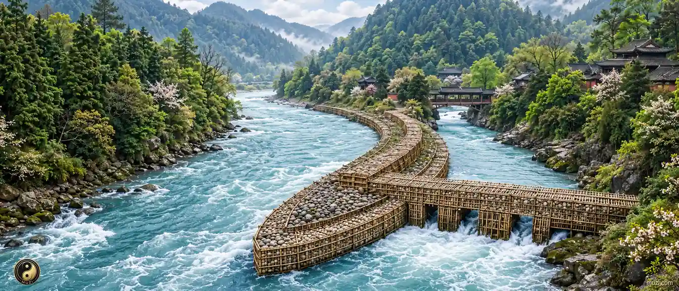
A two-thousand-year-old dam-free irrigation miracle — the fish-mouth divider, the flying-sand weir, and the bottle-neck channel still irrigating the Chengdu Plain's Land of Abundance today.
 Civil Works
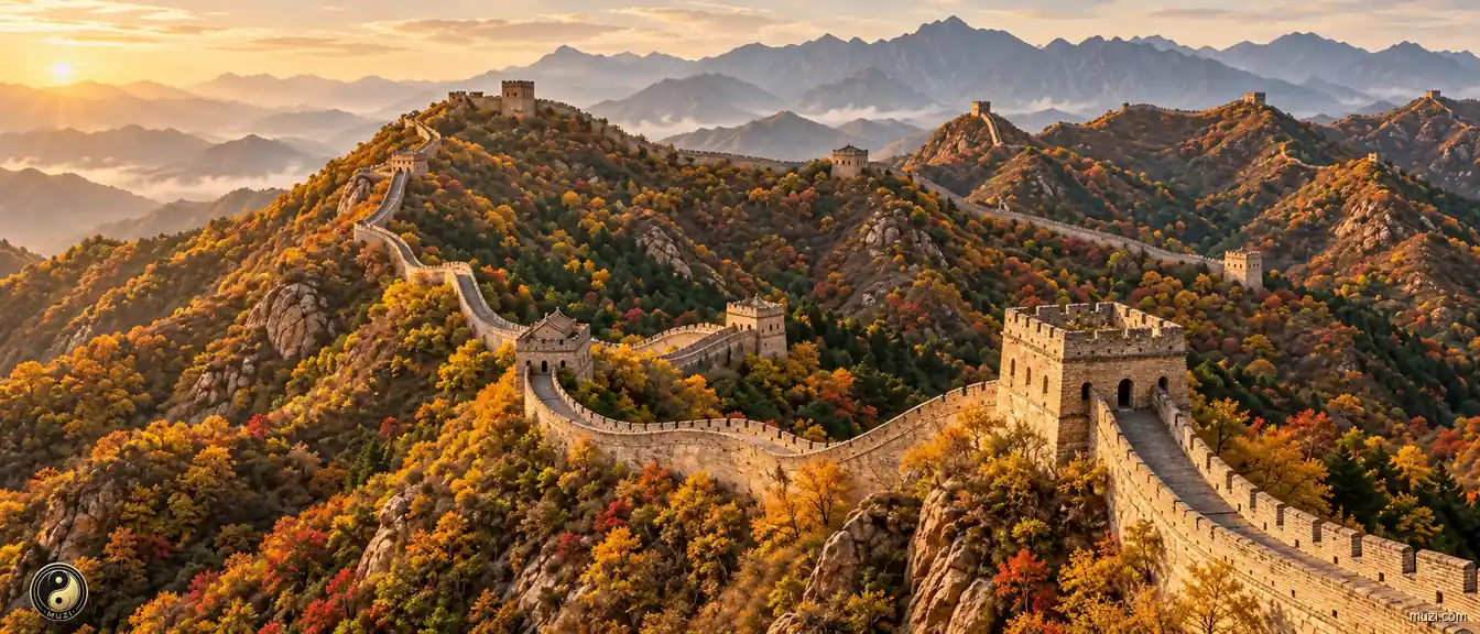
The longest military fortification in human history — winding ten thousand li along the northern ridges, guarding the boundary of agrarian civilization for two millennia.
 Civil Works
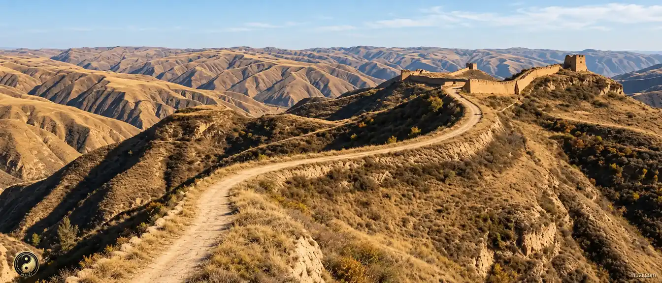
The ancient expressway built by Qin Shi Huang — a geometric military corridor stretching seven hundred kilometers straight along the loess ridge, enabling cavalry to reach the frontier in three days.
 Civil Works
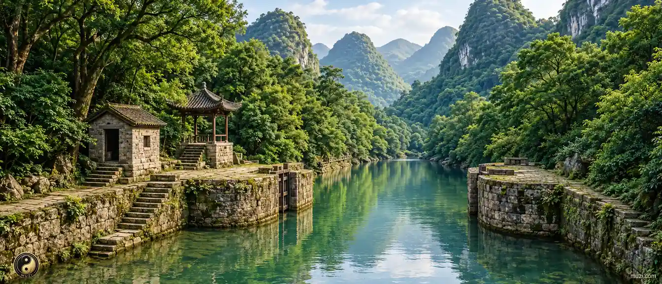
The Lingqu Canal crosses the Xiang-Li watershed to connect the Yangtze and Pearl River systems as an early cross-basin waterway.
 Civil Works
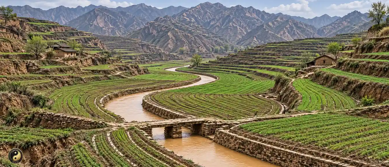
An irrigation canal that diverted silt-laden Jing River water to transform Guanzhong's saline-alkali land — a single engineering project that directly fueled Qin's war machine to conquer the six states.
 Civil Works
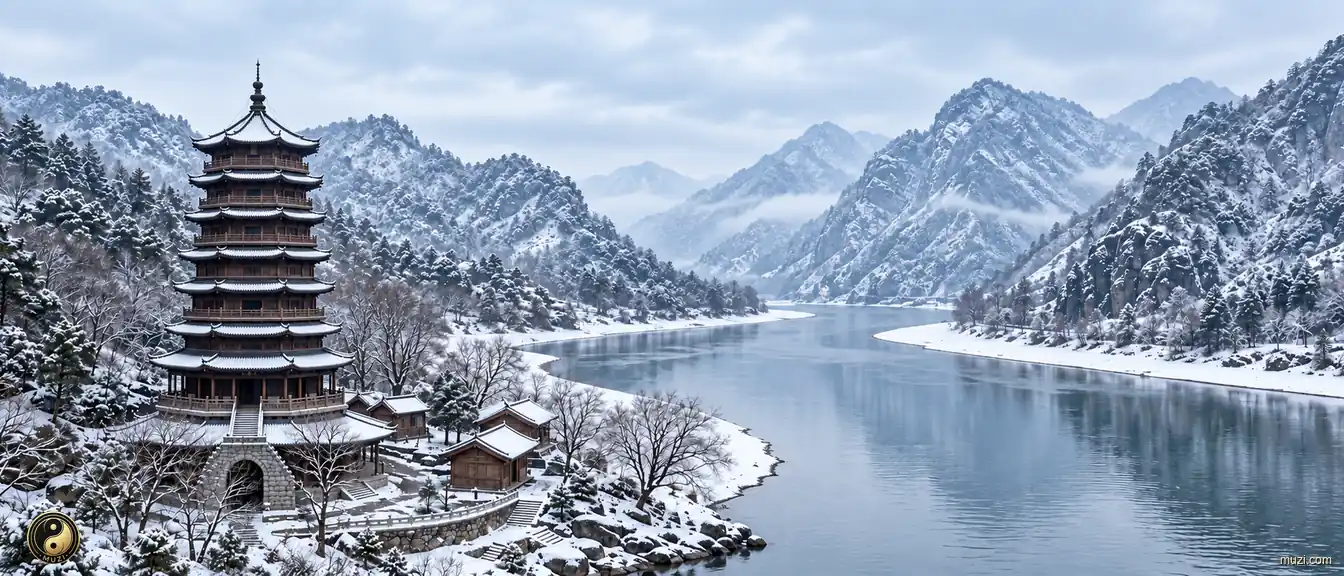
A thousand-year-old pagoda on the Qiantang riverside — both a tide-taming lighthouse and a spiritual monument to humanity's architectural will confronting the river's nonlinear fury.
 Civil Works
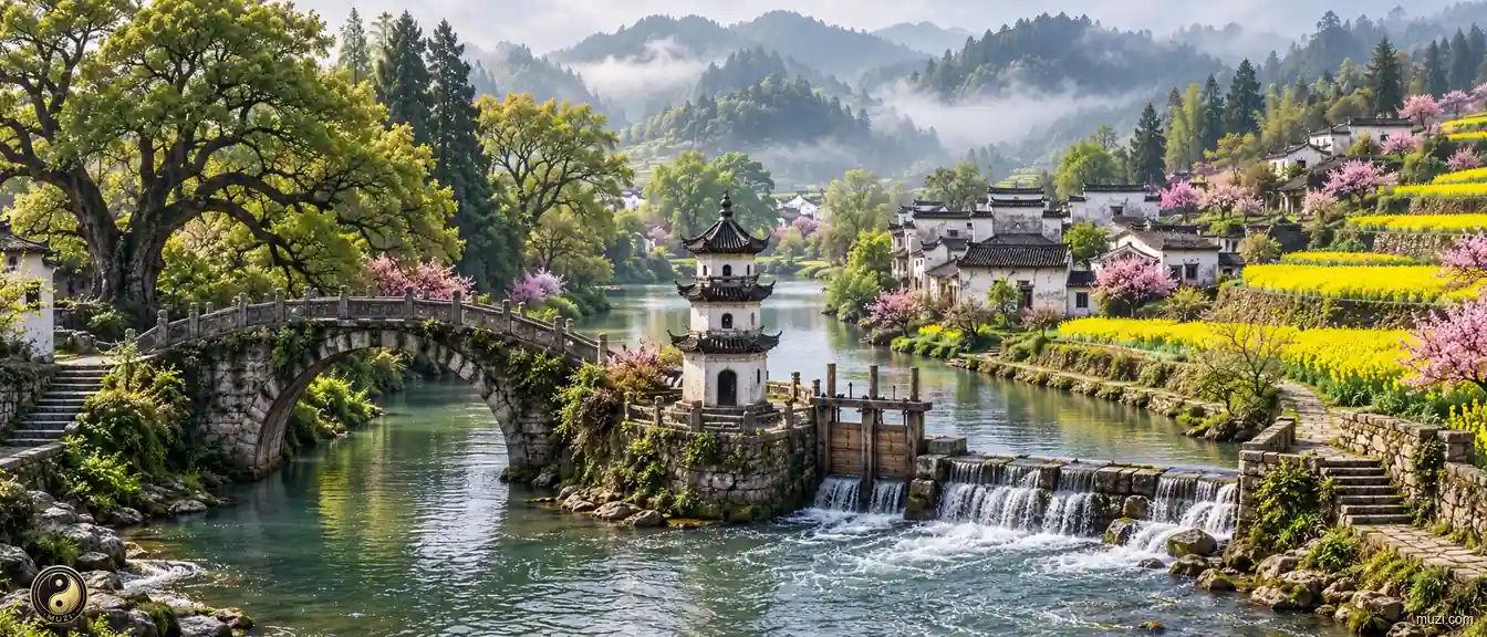
The main Huizhou Weir Dam section in Xixinan Town, Huizhou District, forms a carefully integrated irrigation system of weirs, ponds, channel outlets, water streets, and wells that follows the natural terrain and reflects the historical change and cultural continuity of the Huizhou (Huangshan) region.
 Civil Works
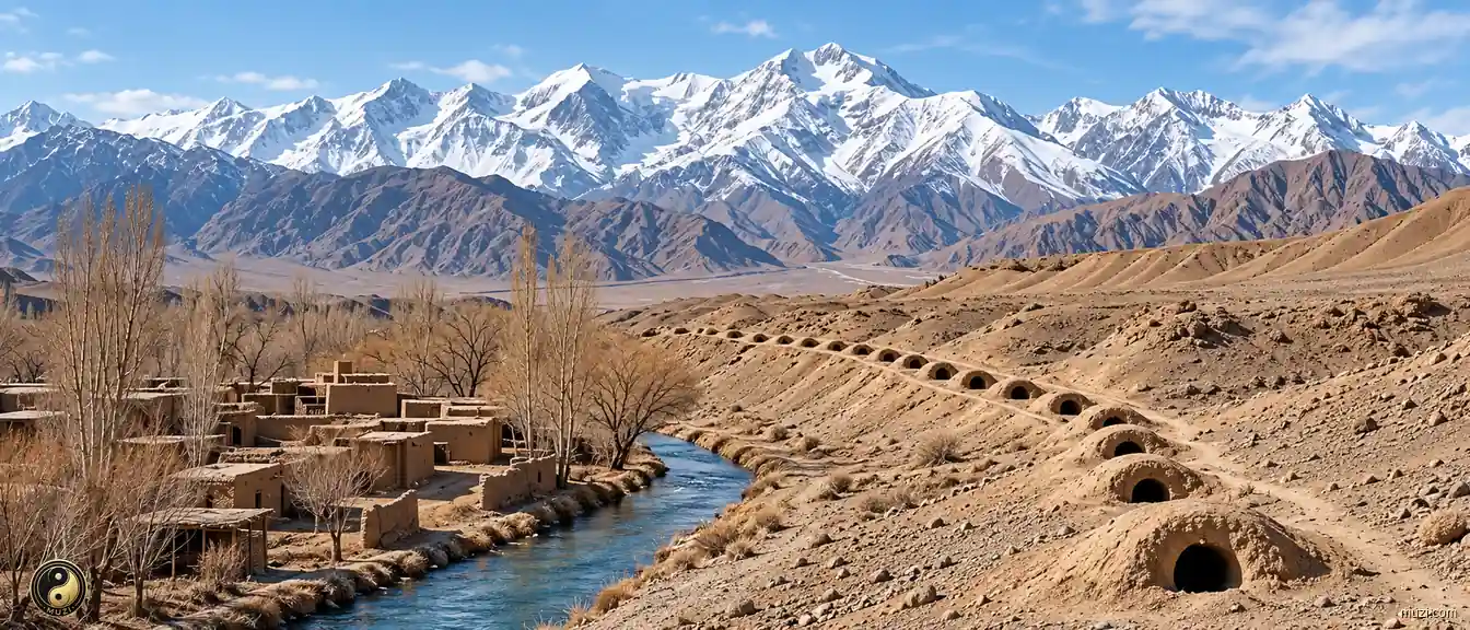
Turpan's Karez channels carry Tianshan snowmelt to oases with little evaporation, an enduring feat of underground water engineering.
 Civil Works
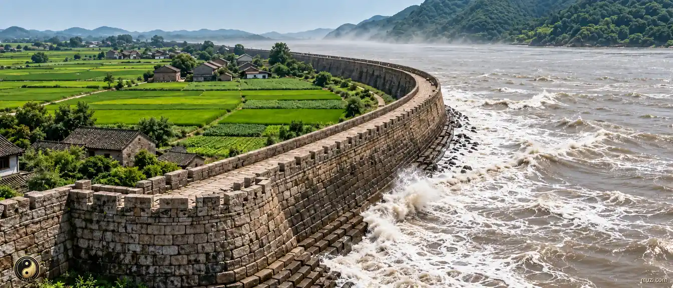
Hundreds of kilometers of stone seawall lying like a dragon — precision mortise-and-tenon joinery resisting violent tidal bores, defending the security of Jiangnan's wealthiest region.
 Civil Works
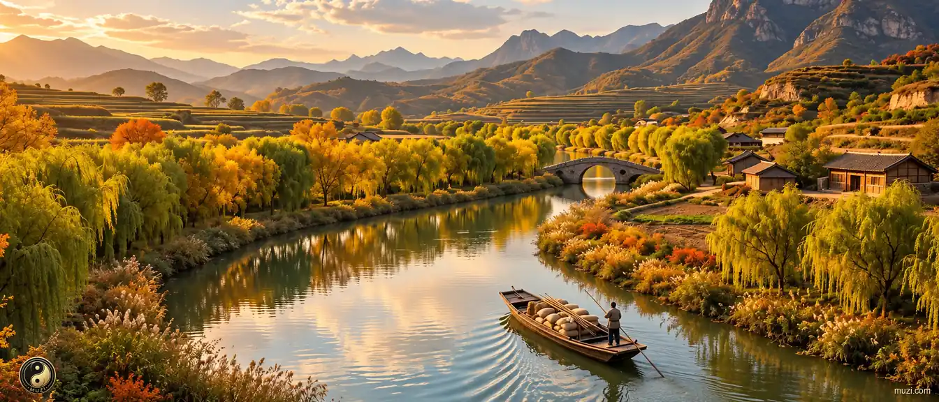
Emperor Yang of Sui's super waterway network — a herringbone pattern connecting the entire empire, maximizing the bandwidth for pumping Jiangnan wealth to the imperial center.
 Civil Works
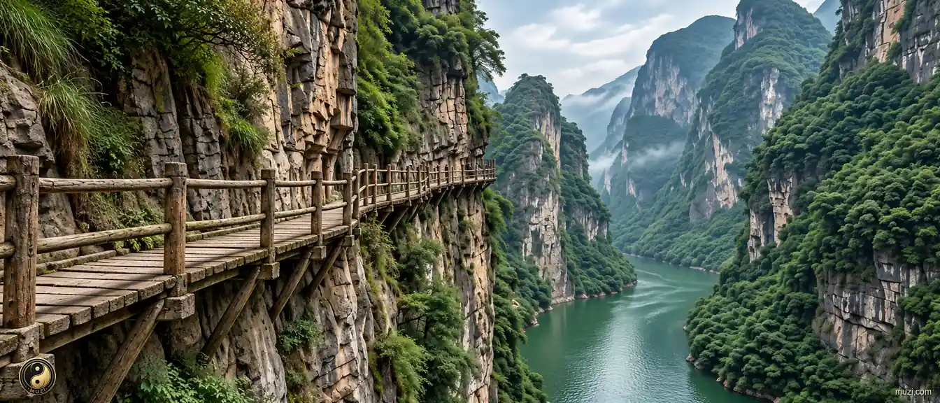
A suspended walkway carved into the vertical cliffs of the Three Gorges — trackers and soldiers clawing out a logistics miracle against heaven-defying terrain with bare hands.
No Matrix entries match this region.