





 Prefecture-level
Guiyang
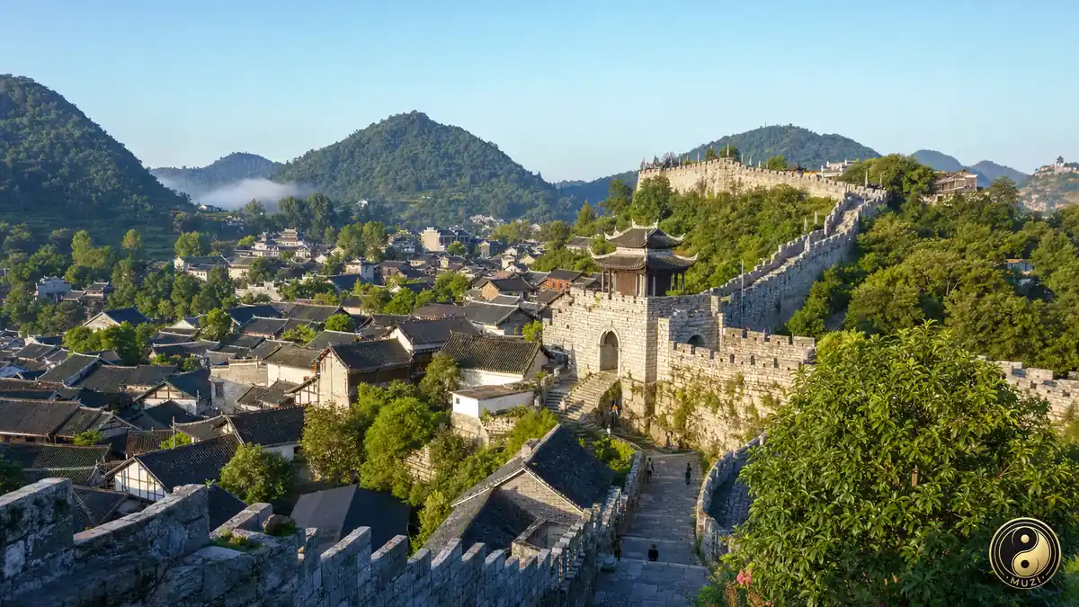
Guiyang is readily recognized through river valleys and inherited local memory.
 MUZIChinese Matrix
Karst peaks and canyon rivers define Guizhou’s uplands, home to communities that preserve varied local traditions.
Within the province-level setting of Guizhou, the spatial identity of Guizhou is first captured by this local fact: “Karst peaks and canyon rivers define Guizhou’s uplands, home to communities that preserve varied local traditions.” It points to an observable local combination in which the setting of Guizhou is shaped by both environment and lived practice. Historical development brought natural conditions and human activity into repeated negotiation, leaving traces in settlement, routes, and memory. Specific places and continuing lives turn a broad regional relationship into experience that can be observed and checked. The meaning of Guizhou rests in specific places and continuing life, not only in its name or formal classification.
Prefecture-level
Guiyang is readily recognized through river valleys and inherited local memory.
 Prefecture-level
Think of Liupanshui, and estuarine routes and port traditions are among the first things that come to mind.
Prefecture-level
highland scenery and pastoral culture offers the clearest regional clue to Zunyi.
Prefecture-level
For Anshun, plain-country farming and old town remains forms an essential setting.
Prefecture-level
mountain corridors and frontier life write a distinctive line into Bijie's urban profile.
Prefecture-level
Through valley settlements and industrial memory, Tongren gains a geographical signature.
Prefecture-level
In Qianxinan Buyei and Miao Autonomous Prefecture, wetland habitats and waterside routines reveal a deeper local trajectory.
 Prefecture-level
Qiandongnan Miao and Dong Autonomous Prefecture finds its regional character in garden landscapes and scholarly traditions.
Prefecture-level
A useful way into Qiannan Buyei and Miao Autonomous Prefecture is through bay shores and fishing practice.
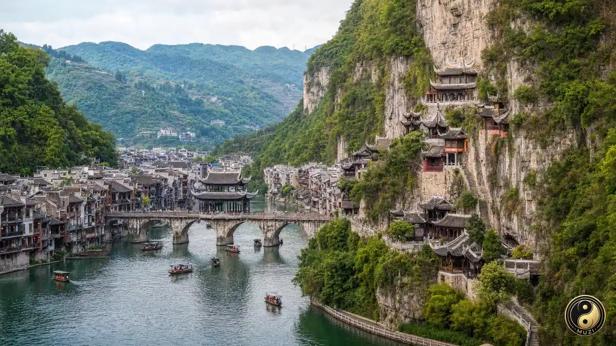
Millennium-old military-trade post on the Wulong River; the Qinglong Cave complex hangs from sheer cliffs; Zhusheng Bridge spans the two banks.
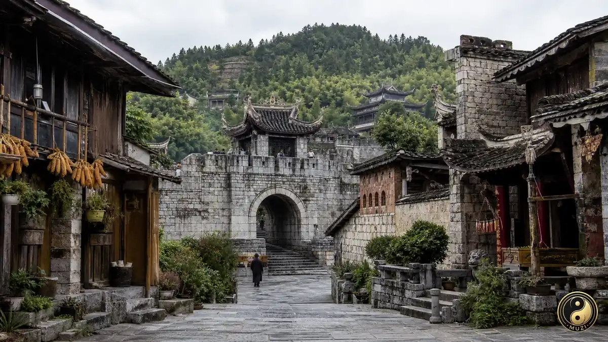
Ming-dynasty military stronghold where Confucianism, Buddhism and Taoism coexist; the ancient wall and lu zhu jiao (braised pig trotters) are Qingyan's icons.