


































 Prefecture-level
Heping
Heping is central Tianjin, lined with the Five Great Avenues villas, the Quanyechang department store and the busy Binjiang Road shopping street.
 MUZIChinese Matrix

At the Haihe estuary, maritime trade and modern opening shaped a city of Chinese and international architectural legacies.
The regional profile of Tianjin begins with the concrete evidence “At the Haihe estuary, maritime trade and modern opening shaped a city of Chinese and international architectural legacies.” The clue links spatial form with everyday experience, giving the regional idea a concrete setting and human scale. Long-term change preserved, adjusted, and transmitted these relationships, showing how environmental influence and community action worked together. These interactions provide a factual basis for understanding the connections, distinctions, and continuities between Tianjin and nearby places. Its significance lies in connecting regional geography, historical continuity, and cultural difference through checkable local evidence about Tianjin.
Prefecture-level
Heping is central Tianjin, lined with the Five Great Avenues villas, the Quanyechang department store and the busy Binjiang Road shopping street.
Prefecture-level
As the saying goes, Dazhigu came before Tianjin itself; Hedong keeps the Tianhou Palace ruins museum and Zhigu sorghum liquor from the grain-shipping era.
Prefecture-level
Hexi District hosts Tianjin's Cultural Centre with the Tianjin Museum and Grand Theatre, plus the Tianjin Radio and Television Tower beside its lake.
Prefecture-level
Nankai District keeps the Ancient Culture Street and Tianhou Palace of old Tianjin, and is home to Nankai University and Tianjin University.
Prefecture-level
Hebei District preserves the Italian-style quarter, Liang Qichao's Ice-Drinking Studio and Tianjin Railway Station on the north bank of the Haihe.
Prefecture-level
Hongqiao holds the Sancha River Mouth, called the cradle of Tianjin, where the Tianjin Eye Ferris wheel rises on the Yongle Bridge.
Prefecture-level
Dongli District is home to Tianjin Binhai International Airport, while Dongli Lake with its hot springs and wetlands offers suburban leisure.
 Prefecture-level
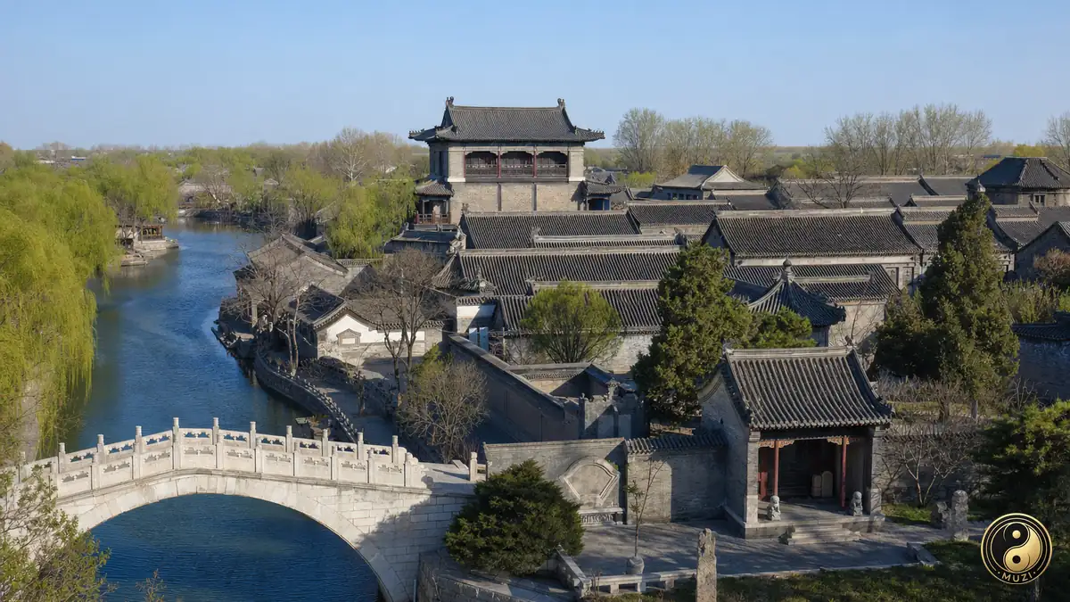
Xiqing is known for Yangliuqing, the canal town of New Year woodblock prints, and the richly carved Shi Family Courtyard mansion.
Prefecture-level
Jinnan District is famed for Xiaozhan rice and keeps the Xiaozhan training ground where the late-Qing New Army was drilled.
Prefecture-level
Beichen grew around Beicang, a granary on the North Canal grain route, and keeps riverside parks and martial folk traditions such as Baji boxing.
Prefecture-level
Lying between Beijing and Tianjin, Wuqing is crossed by the North Canal and draws visitors to its Florentia Village outlet and South Lake.
Prefecture-level
Baodi has the Liao-era Guangji Temple, the broad Chaobai River wetland park, and is known for Tianying chili peppers and red-skinned garlic.
Prefecture-level
Binhai New Area combines Tianjin Port, the historic Dagu Forts at the Haihe mouth, and the National Maritime Museum of China.
Prefecture-level
Ninghe District centres on Lutai and is noted for the reed beds of Qilihai, part of the ancient coast and wetland nature reserve.
Prefecture-level
Jinghai is the hometown of the martial artist Huo Yuanjia, honoured in Jingwu town, and holds the broad waters of Tuanbo Lake.
Prefecture-level
Panshan Mountain, the Liao-dynasty Dule Temple and the Huangyaguan Great Wall make Jizhou the scenic mountain district of northern Tianjin.
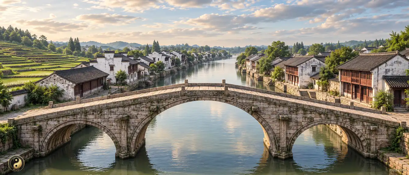
The world's longest man-made waterway — crossing five major river systems to connect north and south, continuously pumping southern grain and wealth into the empire's heart.

The longest military fortification in human history — winding ten thousand li along the northern ridges, guarding the boundary of agrarian civilization for two millennia.
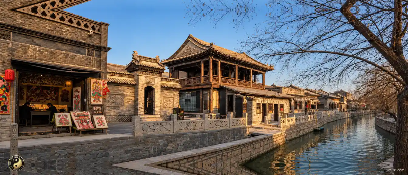
Hometown of China's woodblock New Year prints; northern folk-custom town nourished by the Grand Canal; Shi Family Mansion and opera stage showcase Tianjin merchant refinement.
Hong Xiuquan of Huaxian in Guangdong rose in revolt at Jintian in Guiping county, Guangxi.
