































 Prefecture-level
Xining
Xining, the Summer Capital, is home to Kumbum Monastery, birthplace of Tsongkhapa, and the Dongguan Mosque beside the Huangshui River.
 MUZIChinese Matrix
 Qinghai
In the northeastern Tibetan Plateau, Qinghai Lake and the Sanjiangyuan headwaters frame cold grasslands and diverse cultural communities.
 Tibetan Plateau
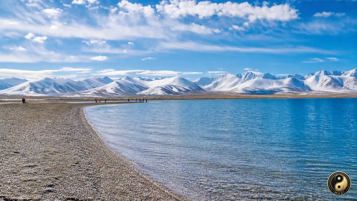
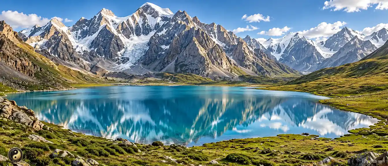
A turquoise lake on the Tibetan Plateau reflects a rugged snow-flecked mountain range, bordered by low alpine meadows and a rocky shoreline.
Open the entryFor Qinghai, the relationship between place and life becomes visible in “Qinghai Lake and the Sanjiangyuan headwaters frame cold grasslands and diverse cultural communities.” This evidence connects landform, movement, settlement, and cultural expression instead of treating them as isolated details. The present profile of Qinghai reflects environmental adaptation and local stewardship built up over an extended period rather than a short-lived change. This process explains how Qinghai remains connected to its surrounding region while retaining a recognizable local character. That is why Qinghai matters: local detail can illuminate environmental setting, social process, and cultural memory together.
Prefecture-level
Xining, the Summer Capital, is home to Kumbum Monastery, birthplace of Tsongkhapa, and the Dongguan Mosque beside the Huangshui River.
Prefecture-level
Haidong embraces Monguor culture in Huzhu, the Salar homeland of Xunhua, the murals of Qutan Monastery and the prehistoric Lajia site in Minhe.
 Prefecture-level
Haibei spreads beneath the Qilian Mountains, with golden canola fields in Menyuan and the Jinyintan grassland of Haiyan, site of the Atomic City.
Prefecture-level
Huangnan is the home of Regong art and thangka painting, the historic Rongwo Monastery of Tongren and the red Danxia peaks of Kanbula.
Prefecture-level
Hainan Prefecture borders the south shore of Qinghai Lake, where the Yellow River runs clear at Guide and the Longyangxia dam rises upstream.
Prefecture-level
Golog is crowned by the sacred Amne Machin, holds the Yellow River headwaters at Madoi and the lake-studded peaks of Nyanbo Yutse.
 Prefecture-level
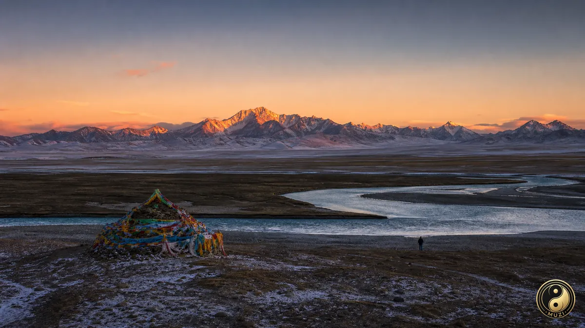
Yushu, heart of the Three Rivers' Source, holds the Mekong's headwaters in Zadoi, the Tongtian River and the Gyanak Mani stone city.
 Prefecture-level
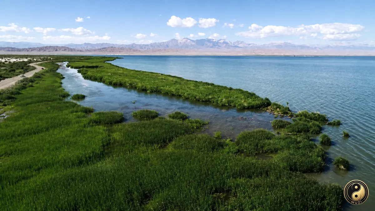
Haixi spans the Qaidam Basin, with the vast Qarhan salt lake, the mirror-like Chaka salt lake and Golmud on the road to the Kunlun Pass.
 Tibetan Plateau
The world's highest plateau, the Asian Water Tower and source of the Yangtze and Yellow Rivers, whose headwaters shape East Asian water systems.
 Qaidam
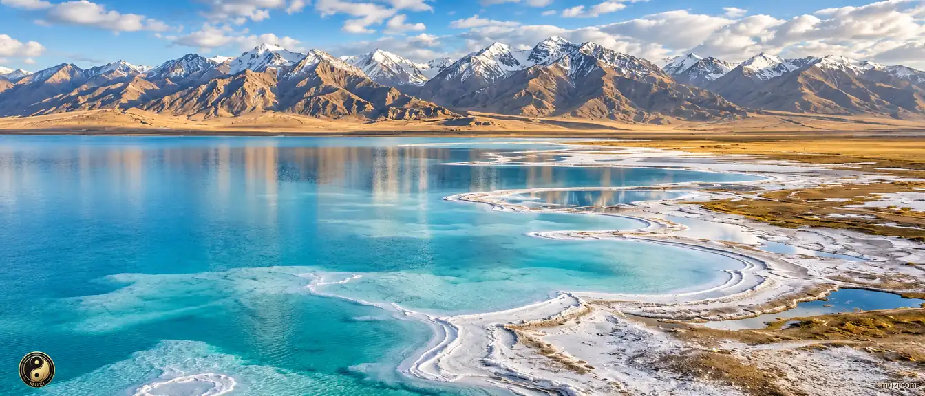
A high-altitude inland treasure basin — desolate on the surface, yet beneath lies an extraordinary wealth of salt lakes and mineral resources.
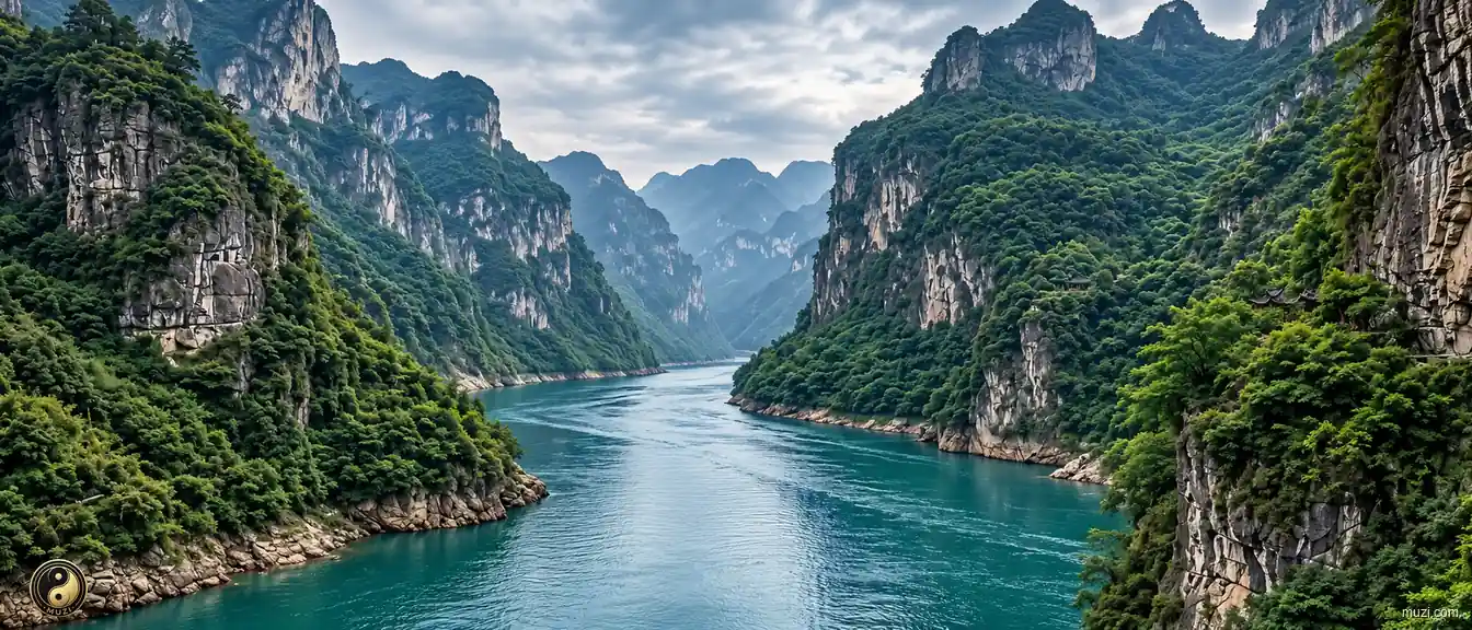
 Yangtze River
Asia's longest river, flowing six thousand kilometers from the Tibetan Plateau to the East China Sea — the aorta and golden waterway of Chinese civilization.
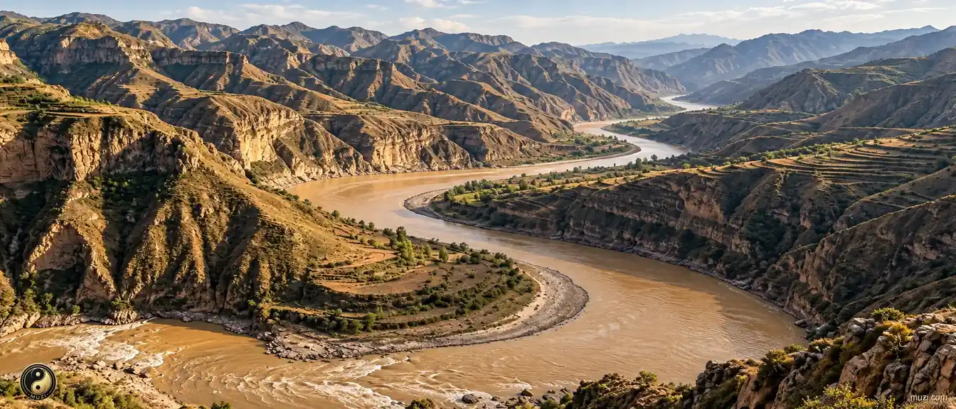
 Yellow River
The Yellow River carries loess to the sea and remains a major river in the history of Chinese agrarian civilization.
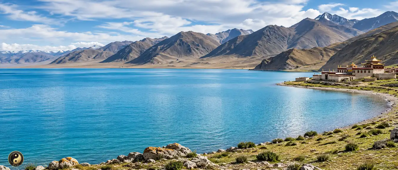
 Qinghai Lake
Qinghai Lake is a vast inland salt lake whose Tibetan name means 'turquoise sea,' a refuge for migratory birds on the Plateau.
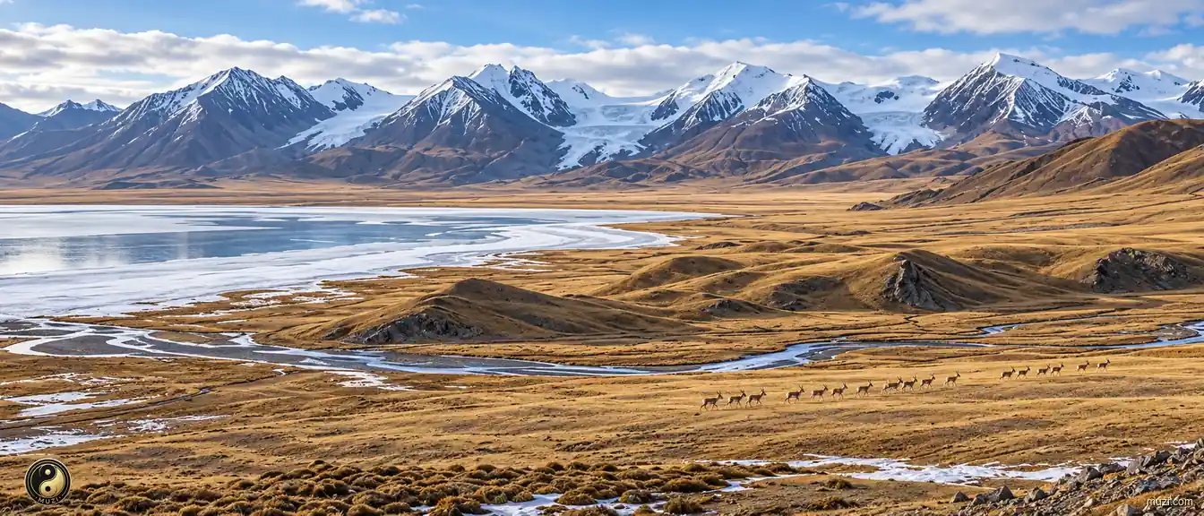
 Hoh Xil
The uninhabited zone of the Third Pole — where Tibetan antelope stage their spectacular annual migration in one of the least-touched wildernesses on Earth.
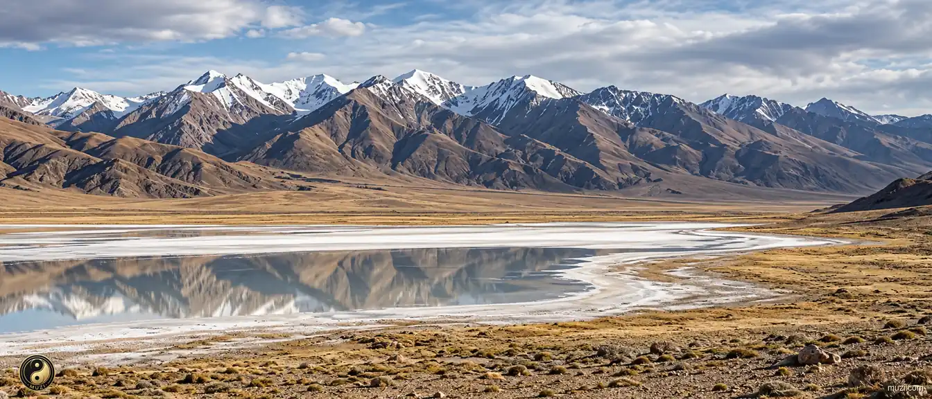
 Altun Mountains
The hyper-enclosed uninhabited zone at the junction of the Kunlun and Qilian ranges — extreme altitudinal isolation creating a forbidden zone of life and the ultimate backup vault for Tibetan antelope and wild yak.
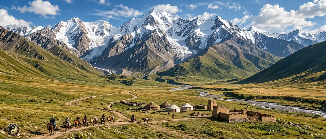
 Qilian Mountains
A high-altitude glacier belt straddling the south side of the Hexi Corridor — its endless frozen reservoir drip-irrigating the entire lifeline of the Silk Road.
None of my fathers or forefathers ever married into the superior state; now I have won a princess of the Great Tang, a great good fortune.
