





 Prefecture-level
Xining
Xining is readily recognized through river valleys and inherited local memory.
 MUZIChinese Matrix
In the northeastern Tibetan Plateau, Qinghai Lake and the Sanjiangyuan headwaters frame cold grasslands and diverse cultural communities.
For Qinghai, the relationship between place and life becomes visible in “Qinghai Lake and the Sanjiangyuan headwaters frame cold grasslands and diverse cultural communities.” This evidence connects landform, movement, settlement, and cultural expression instead of treating them as isolated details. The present profile of Qinghai reflects environmental adaptation and local stewardship built up over an extended period rather than a short-lived change. This process explains how Qinghai remains connected to its surrounding region while retaining a recognizable local character. That is why Qinghai matters: local detail can illuminate environmental setting, social process, and cultural memory together.
Prefecture-level
Xining is readily recognized through river valleys and inherited local memory.
Prefecture-level
Think of Haidong, and estuarine routes and port traditions are among the first things that come to mind.
 Prefecture-level
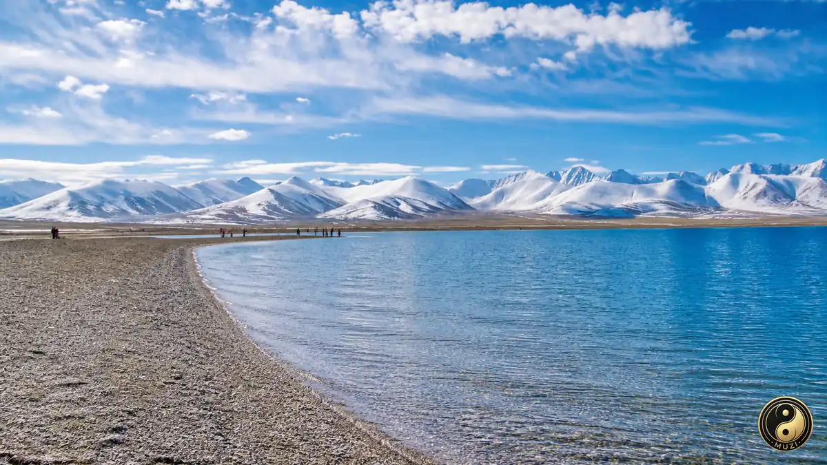
highland scenery and pastoral culture offers the clearest regional clue to Haibei Tibetan Autonomous Prefecture.
Prefecture-level
For Huangnan Tibetan Autonomous Prefecture, plain-country farming and old town remains forms an essential setting.
Prefecture-level
mountain corridors and frontier life write a distinctive line into Hainan Tibetan Autonomous Prefecture's urban profile.
Prefecture-level
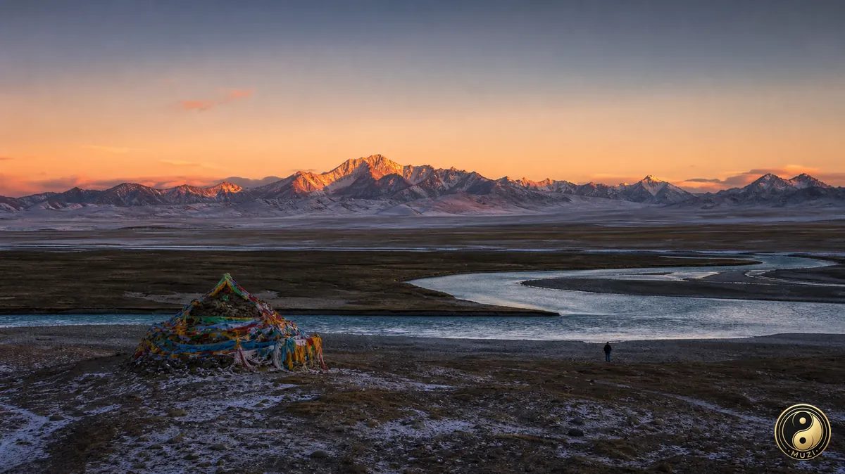
Through valley settlements and industrial memory, Golog Tibetan Autonomous Prefecture gains a geographical signature.
 Prefecture-level
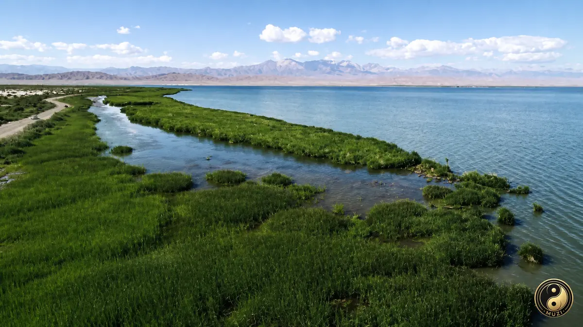
In Yushu Tibetan Autonomous Prefecture, wetland habitats and waterside routines reveal a deeper local trajectory.
 Prefecture-level
Haixi Mongol and Tibetan Autonomous Prefecture finds its regional character in garden landscapes and scholarly traditions.
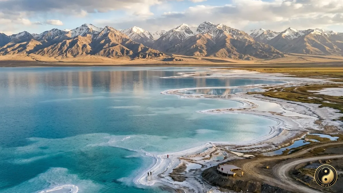
A high-altitude inland treasure basin — desolate on the surface, yet beneath lies an extraordinary wealth of salt lakes and mineral resources.
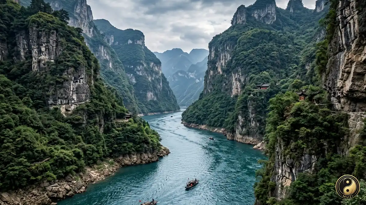
Asia's longest river, flowing six thousand kilometers from the Tibetan Plateau to the East China Sea — the aorta and golden waterway of Chinese civilization.
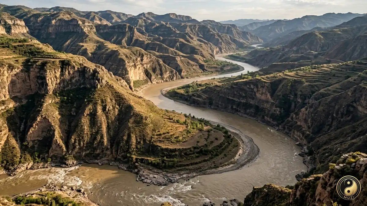
The Yellow River carries loess to the sea and remains a major river in the history of Chinese agrarian civilization.
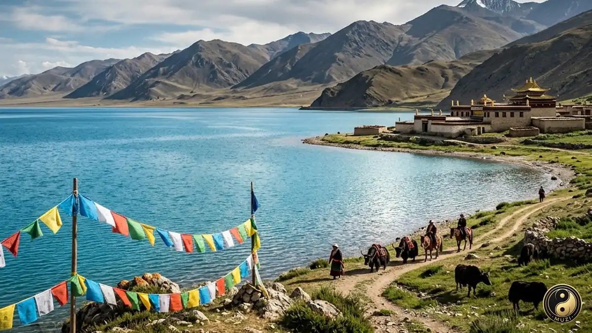
Qinghai Lake is a vast inland salt lake whose Tibetan name means 'turquoise sea,' a refuge for migratory birds on the Plateau.
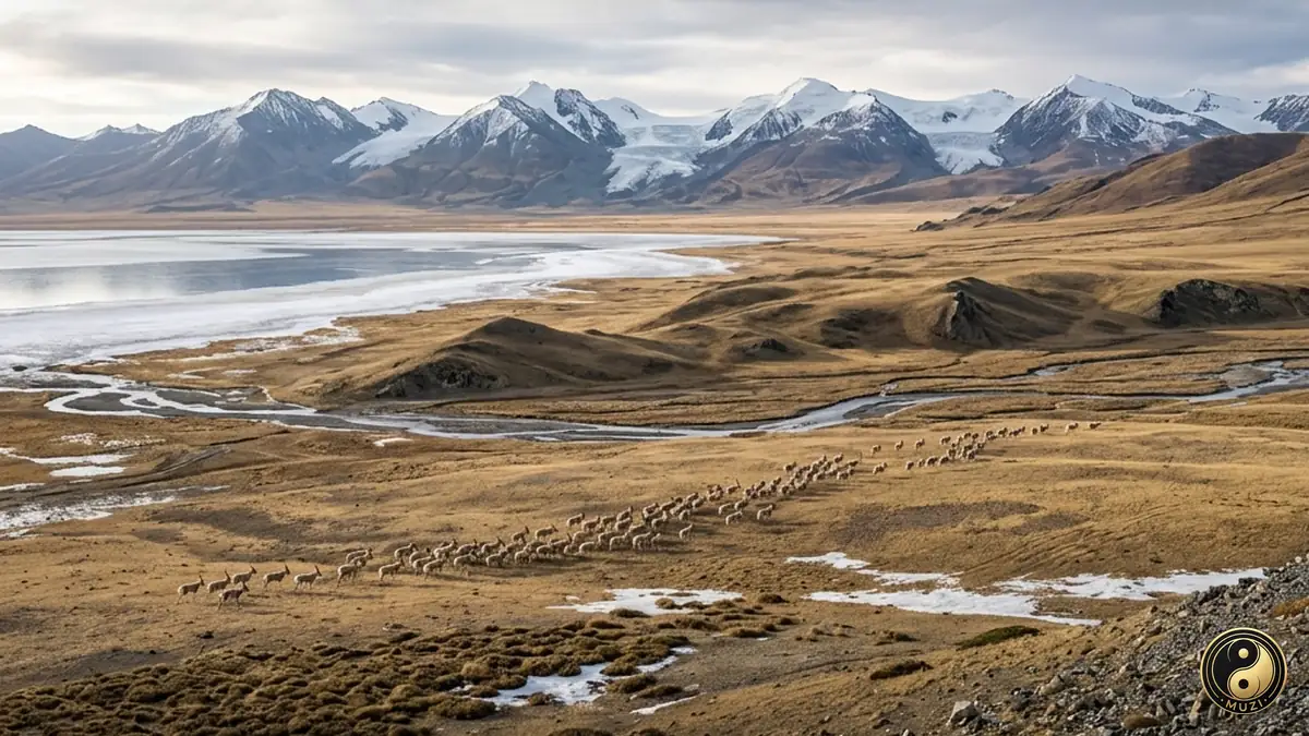
The uninhabited zone of the Third Pole — where Tibetan antelope stage their spectacular annual migration in one of the least-touched wildernesses on Earth.
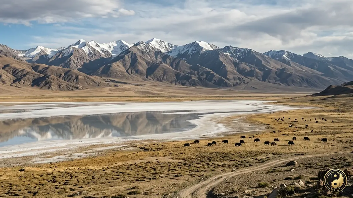
The hyper-enclosed uninhabited zone at the junction of the Kunlun and Qilian ranges — extreme altitudinal isolation creating a forbidden zone of life and the ultimate backup vault for Tibetan antelope and wild yak.
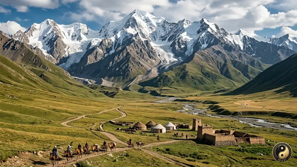
A high-altitude glacier belt straddling the south side of the Hexi Corridor — its endless frozen reservoir drip-irrigating the entire lifeline of the Silk Road.