


































 Prefecture-level
Ürümqi
Ürümqi sits beneath the Tianshan, with the International Grand Bazaar, Hongshan Pagoda, the Nanshan pastures and the Tianshan No. 1 Glacier nearby.
 MUZIChinese Matrix

The Tianshan and Kunlun ranges surround the Tarim and Junggar basins, with Silk Road sites recording a multi-ethnic history.
A useful starting point for Xinjiang is the documented fact “The Tianshan and Kunlun ranges surround the Tarim and Junggar basins, with Silk Road sites recording a multi-ethnic history.” The natural conditions and social experience of Xinjiang therefore belong to one connected geographic story. Communities responded to surrounding conditions through residence, exchange, and daily practice, giving the spatial pattern a traceable history. The chain from environmental conditions to social practice gives the regional change of Xinjiang a clear real-world expression. Taken together, these clues clarify the position, change, and distinctive contribution of Xinjiang within the larger region.
Prefecture-level
Ürümqi sits beneath the Tianshan, with the International Grand Bazaar, Hongshan Pagoda, the Nanshan pastures and the Tianshan No. 1 Glacier nearby.
 Prefecture-level
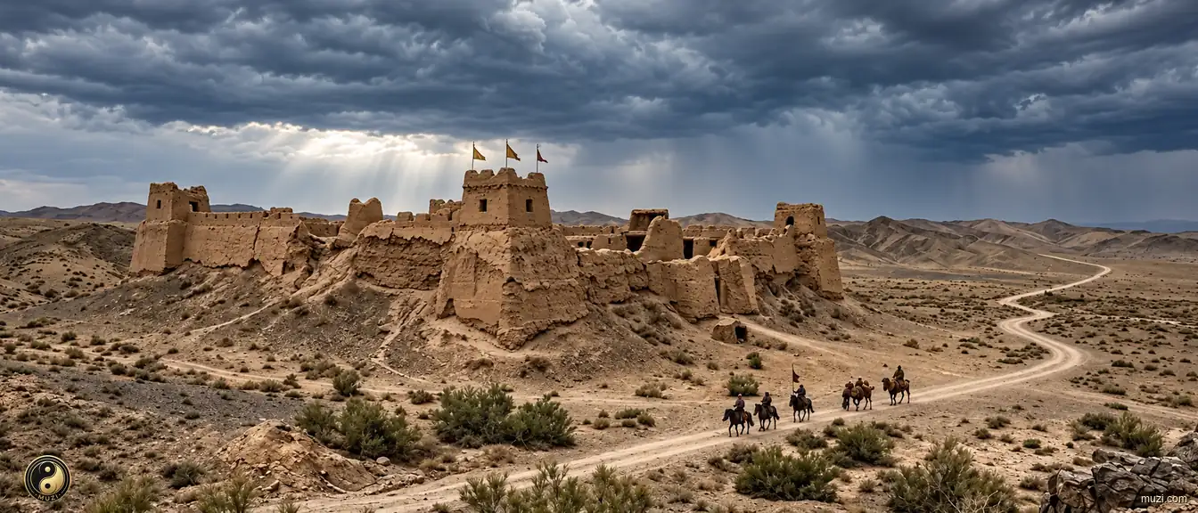
Karamay grew from the natural asphalt seeps of Heiyoushan into an oil city, with the wind-carved Ghost City of Urho and the Dushanzi Grand Canyon nearby.
 Prefecture-level
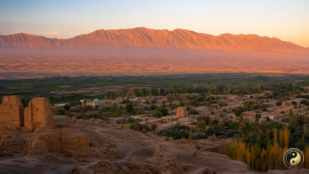
Turpan's Flaming Mountains overlook the Grape Valley, while the ruined city of Jiaohe and the karez irrigation channels reveal ancient oasis life.
 Prefecture-level
Hami gave its name to the Hami melon and offers the Hui Kings' Palace, the grassland lake of Barkol and glaciers of the eastern Tianshan.
Prefecture-level
Changji is home to Heavenly Lake beneath Bogda Peak, the World Heritage ruins of Beiting and the rolling wheat fields of Jiangbulake.
 Prefecture-level
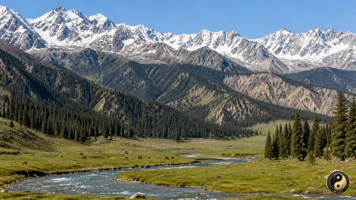
Bortala holds Sayram Lake, called the last tear of the Atlantic, the Alashankou border crossing and the Ebinur Lake wetlands.
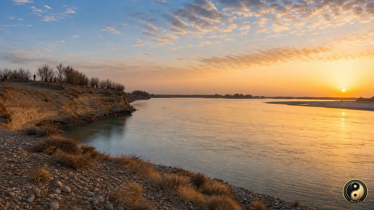 Prefecture-level
Bayingolin spans the swan lakes of Bayanbulak grassland, Bosten Lake, the fragrant pears of Korla and the ruins of ancient Loulan.
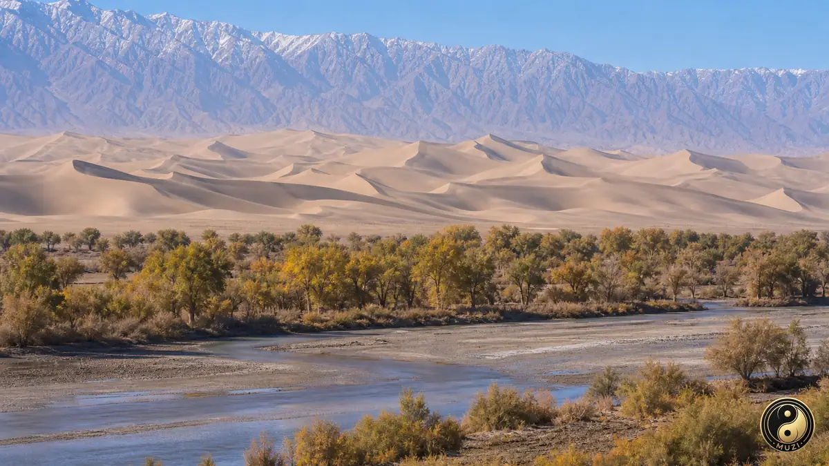 Prefecture-level
Aksu holds the Kizil Caves with their Kucha Buddhist murals, the Tomur Grand Canyon and its sweet sugar-heart apples.
Prefecture-level
Kizilsu reaches the Pamirs, with the towering natural arch of Artux, Muztagh Ata above the White Sand Lake and the Kyrgyz Manas epic.
Prefecture-level
Kashgar's old city and Id Kah Mosque anchor a region of Yarkand Muqam music and the Stone City of Tashkurgan on the Pamir Plateau.
Prefecture-level
Hotan is famed for nephrite jade from the Yurungkash River, while the Niya and Rawak ruins preserve memories of the ancient Khotan kingdom.
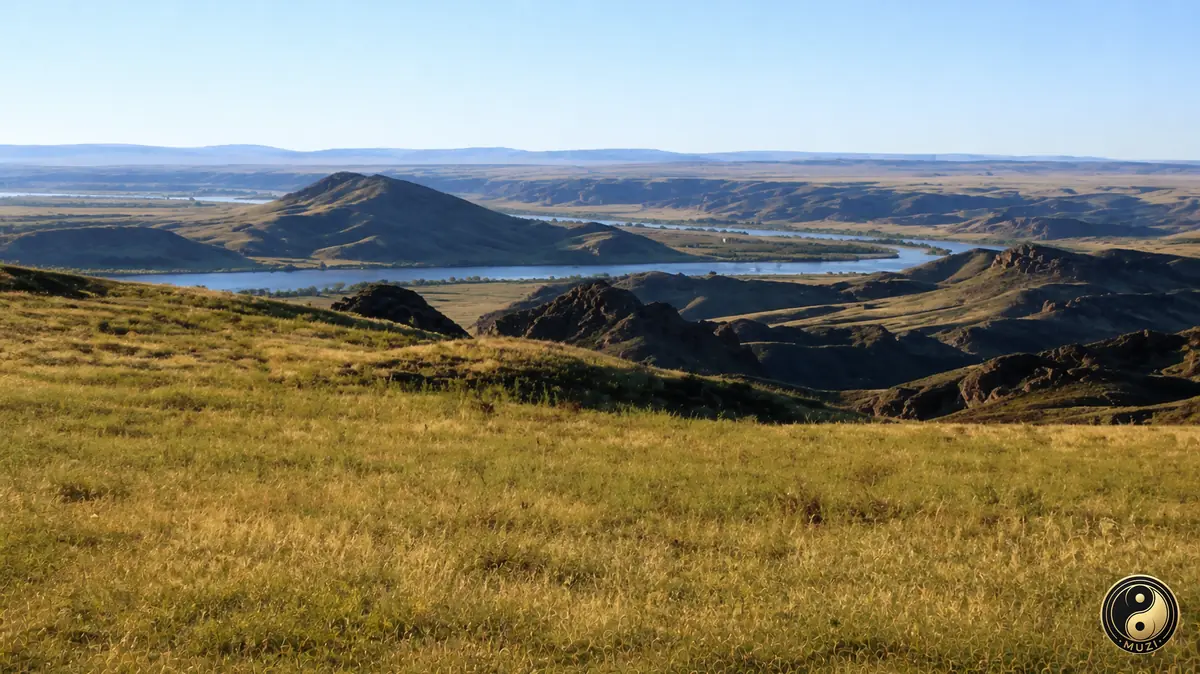 Prefecture-level
Ili offers the Nalati sky grassland, the lavender fields of Huocheng, the celestial horses of Zhaosu and the Kalajun pastures.
Prefecture-level
Tacheng Prefecture is known for Shawan big-plate chicken, Wusu beer, the Baktu border port and wild tulips blooming in Yumin.
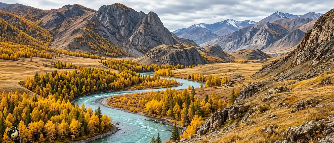 Prefecture-level
Altay hides Kanas Lake and Hemu village in the Altai Mountains, along with the Koktokay mine and ancient rock paintings of skiers.
Prefecture-level
An oasis city on the northern foot of the central Tianshan, Shihezi takes its name from a stony-bedded spring creek and borders the Manas River.
Prefecture-level
Here the Aksu, Yarkand and Hotan rivers join to form the Tarim, and Aral's oasis spreads along the river at the northern edge of the Tarim Basin.
Prefecture-level
On the western rim of the Tarim Basin, the Yarkand and Kashgar rivers feed Tumxuk's chain of reservoirs and broad riverine wetlands.
Prefecture-level
In the late Qing five families dug a canal from the Laolong River, and their Five Families' Canal gave its name to this city north of Bogda Peak.
Prefecture-level
Built on the floodplains of the Irtysh and Ulungur rivers, Beitun's cold northern valleys shelter beavers and pike.
Prefecture-level
Named after the ancient Iron Gate Pass near Korla, the city guards the corridor from the southern Tianshan into the Tarim Basin.
Prefecture-level
Named for the Bortala and Jinghe rivers that flow through it, Shuanghe borders Kazakhstan in the far northwest.
Prefecture-level
A grassland town in the Ili valley, Kokdala is where the lyrical song Night on the Grassland was born and first sung.
Prefecture-level
An oasis city below the northern slopes of the Karakoram on the southern edge of the Tarim Basin, its farms scattered among the oases of Hotan.
Prefecture-level
In the Kuitun River basin, Huyanghe lies between the Tianshan to the south and the Gurbantunggut Desert to the north, an oasis between mountain and sand.
Prefecture-level
Prefecture-level
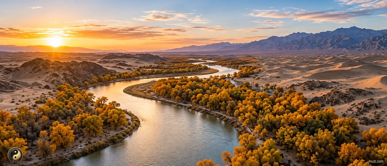
A hidden river flowing silently beneath the Taklamakan Desert — fed by Tianshan snowmelt, the underground lifeline sustaining desert oases.
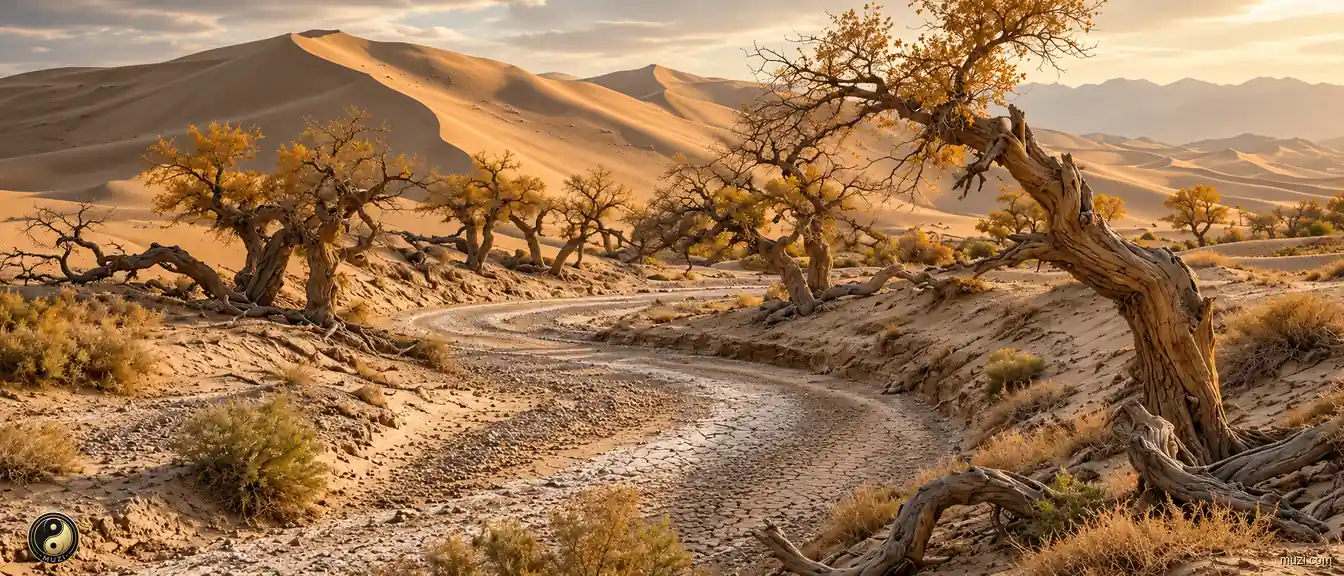
The Tarim Basin is a vast desert basin, arid at the surface yet rich in buried oil, gas, and Silk Road history.
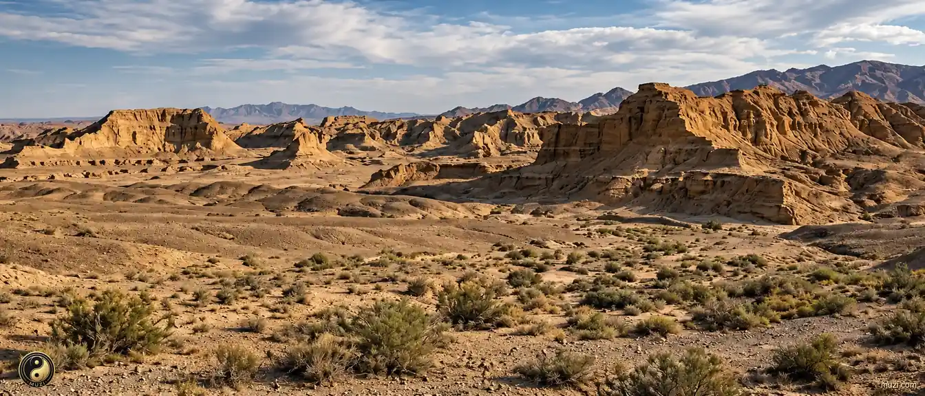
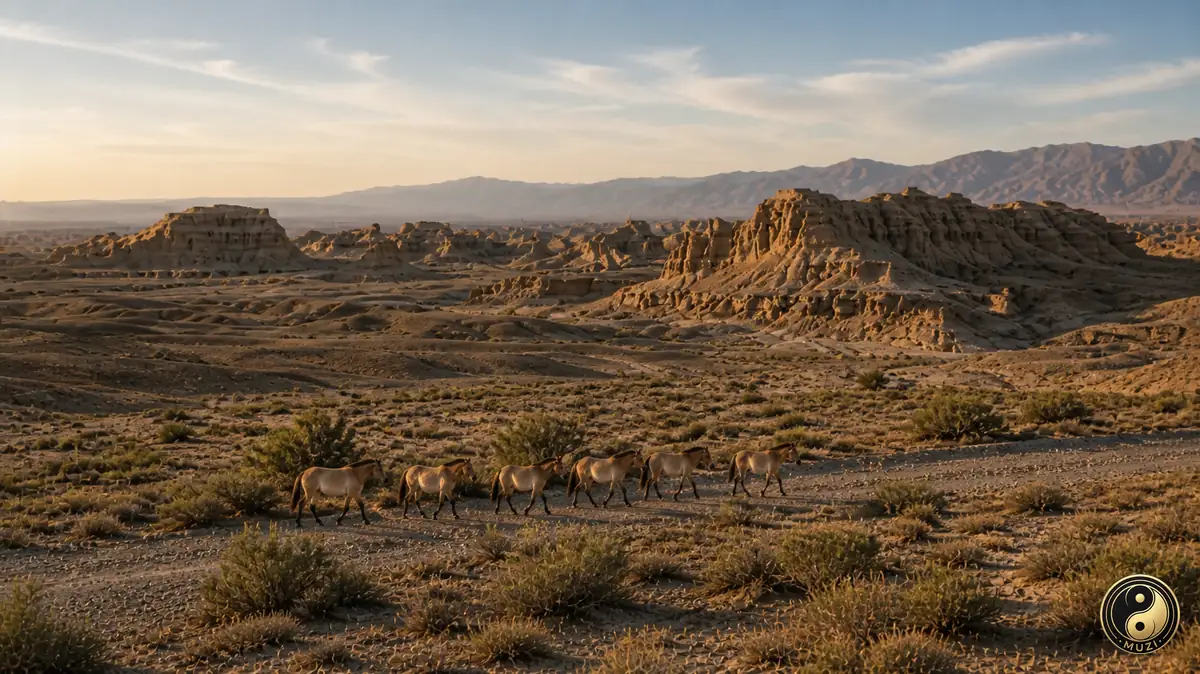
The vast gobi desert stretching from the Junggar Basin to the Mongolian Plateau — once the ancestral homeland where Przewalski's horses galloped free.
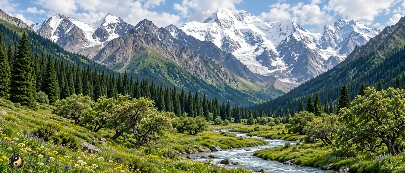
Deep in the arid continental interior, a miracle of spruce forests clings to mountain slopes thousands of kilometers from any ocean — a high-altitude green reservoir suspended in the desert.
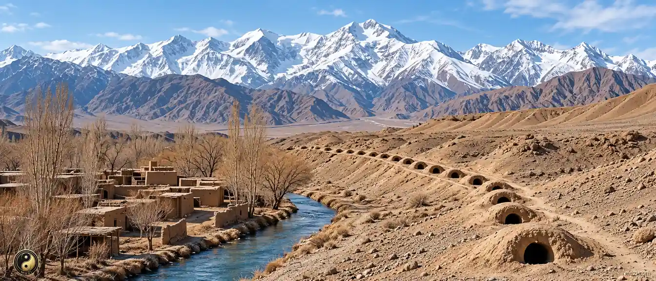
Turpan's Karez channels carry Tianshan snowmelt to oases with little evaporation, an enduring feat of underground water engineering.
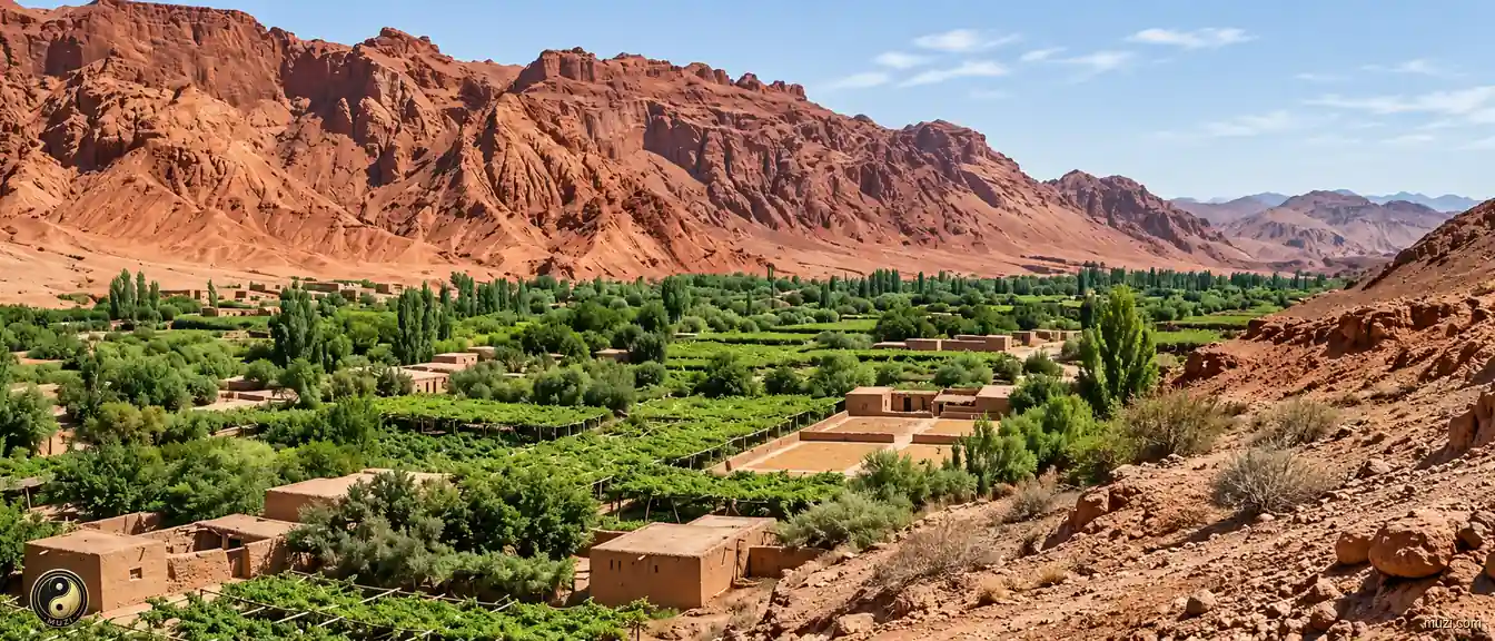
Turpan's low basin is exceptionally hot and dry, producing prized melons and sustaining the Karez canal tradition.
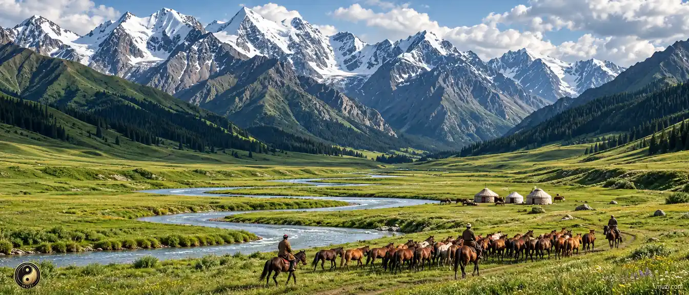
Where the Tianshan tears open a gap to capture Atlantic westerly moisture — a miraculous 'Jiangnan beyond the frontier' flourishing in the heart of the continent's extreme arid zone.
A semi-enclosed basin pinched between the Altai and Tianshan ranges — with lush pastures and a strategic position, the core base of successive nomadic empires.
The Irtysh is a rare river that flows north toward the Arctic Ocean, cutting a green corridor through the Altai interior.
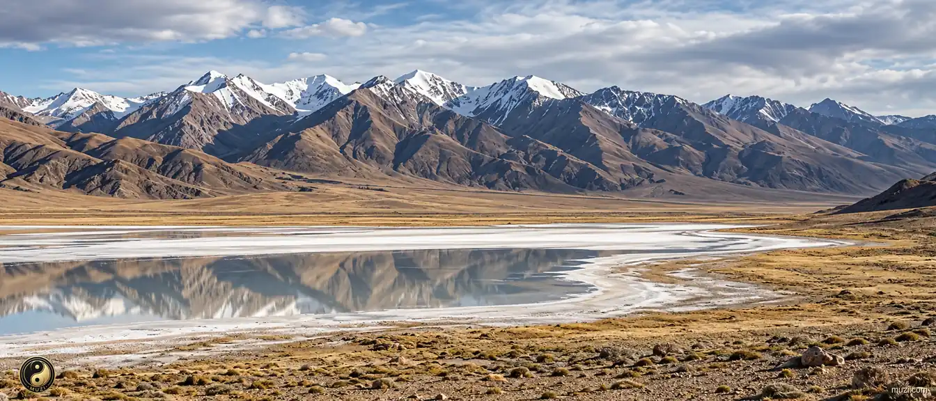
The hyper-enclosed uninhabited zone at the junction of the Kunlun and Qilian ranges — extreme altitudinal isolation creating a forbidden zone of life and the ultimate backup vault for Tibetan antelope and wild yak.
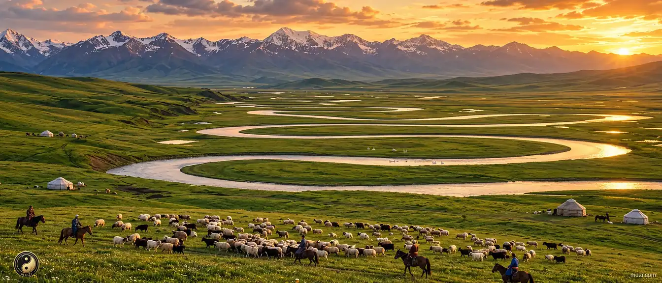
Alpine wetlands deep in the Tianshan, formed by the nine bends and eighteen meanders of the Kaidu River — the swans' homeland and the nomadic high-altitude liquid pasture.
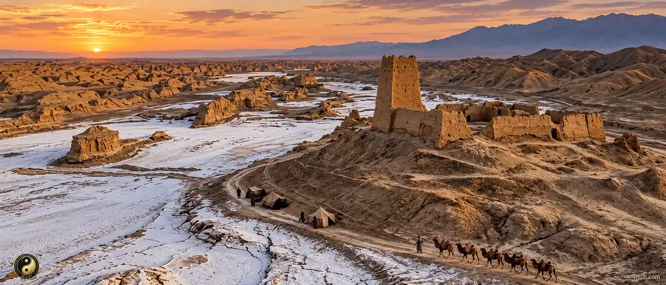
The burial ground of the Loulan Kingdom — a once-vast lake desiccated entirely into a giant ear-shaped salt crust, sealing and encrypting a thousand years of Silk Road exploration memory.