


































 Prefecture-level
Harbin
Harbin, the Ice City, pairs Central Street and Saint Sophia Cathedral with the Harbin Ice and Snow World each winter.
 MUZIChinese Matrix

Northern forests, wetlands, black-soil fields, and cross-border exchange shape Heilongjiang's regional character.
The regional profile of Heilongjiang begins with the concrete evidence “Northern forests, wetlands, black-soil fields, and cross-border exchange shape Heilongjiang's regional character.” The clue links spatial form with everyday experience, giving the regional idea a concrete setting and human scale. Long-term change preserved, adjusted, and transmitted these relationships, showing how environmental influence and community action worked together. These interactions provide a factual basis for understanding the connections, distinctions, and continuities between Heilongjiang and nearby places. Its significance lies in connecting regional geography, historical continuity, and cultural difference through checkable local evidence about Heilongjiang.
Prefecture-level
Harbin, the Ice City, pairs Central Street and Saint Sophia Cathedral with the Harbin Ice and Snow World each winter.
Prefecture-level
Qiqihar, the Crane City, protects red-crowned cranes in Zhalong wetland and keeps the Neolithic Angangxi site beside the Nen River.
Prefecture-level
Jixi looks out over vast Lake Khanka at Mishan, is known as China's graphite capital and has a long history of coal mining.
 Prefecture-level
Hegang, a century-old coal city, reaches the cliffs of the Heilongjiang Three Gorges and the gold-rush history of Taipinggou in Luobei.
Prefecture-level
Shuangyashan keeps Hezhe fishing culture and the Wusuli boat song at Raohe, the Qixing Peak resistance camps and Anbang River wetlands.
Prefecture-level
Daqing was built on China's great oilfield, honours the Iron Man Wang Jinxi and is dotted with lakes and wetlands across its plains.
Prefecture-level
Yichun, the forest capital, spreads Korean pine across the Lesser Khingan Range, with the Tangwang River stone forest and Wuying National Forest Park.
Prefecture-level
Jiamusi includes Fuyuan, where mainland China's earliest sunrise appears, and Tongjiang, home of the Hezhe people's Yimakan storytelling tradition.
Prefecture-level
Qitaihe, a coal city of eastern Heilongjiang, is the hometown of short-track speed skating Olympic champions such as Yang Yang and Wang Meng.
Prefecture-level
Mudanjiang has Jingpo Lake and its Diaoshuilou Falls, the Bohai Kingdom capital ruins at Ning'an, and the snowbound village scenery of Xuexiang in Hailin.
Prefecture-level
Heihe has the Wudalianchi volcanic lakes and faces Blagoveshchensk across the Heilongjiang River.
Prefecture-level
Suihua farms the black soil of the cold north and is known for Qing'an rice, Wangkui shadow puppetry and mammoth fossils from Qinggang.
Prefecture-level
Daxing'anling Prefecture spans vast boreal forest and reaches Mohe's Arctic Village, China's northernmost settlement, where auroras are sometimes seen.
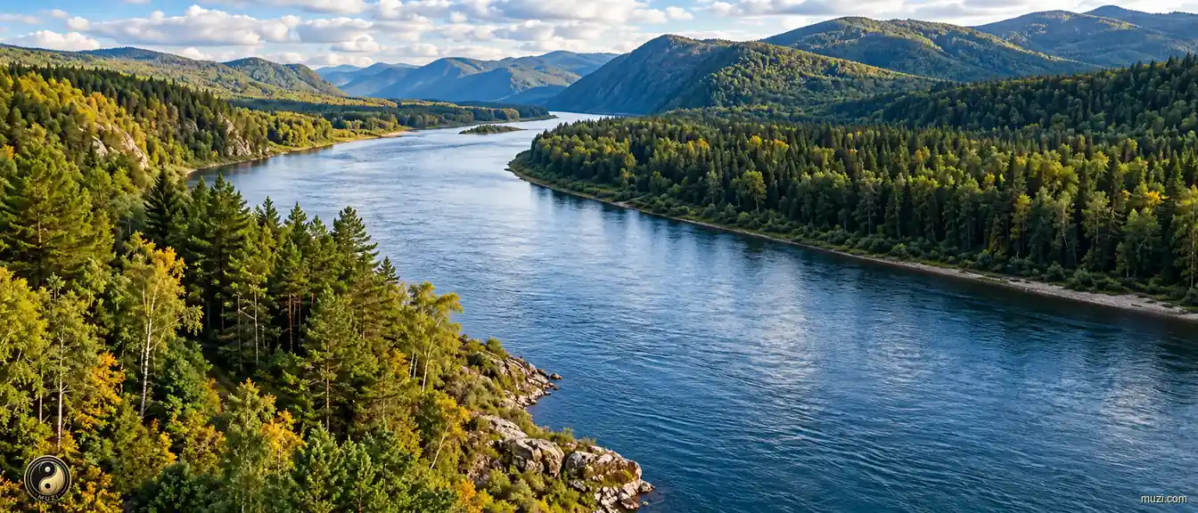
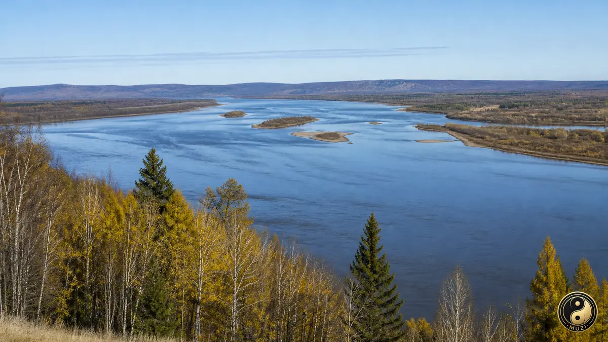
The Heilongjiang runs along an international border, freezing for much of the year beside northeastern wetlands and farmland.
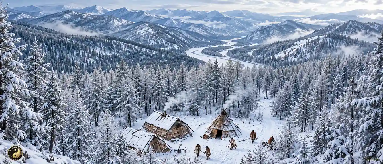
The steep ecological fault where taiga forest transitions abruptly to arid Mongolian steppe — the evolutionary cradle from which northern nomadic, hunting, and fishing peoples emerged from the forest onto the grassland to begin their conquest of the Central Plains.