


































 Prefecture-level
Chengdu
Chengdu, heart of the Land of Abundance, holds the Dujiangyan and Mount Qingcheng World Heritage site, Wuhou Shrine, Du Fu Thatched Cottage and the giant panda base.
 MUZIChinese Matrix

Westward from the Sichuan Basin, the land rises to plateau landscapes marked by Bashu history, upper-Yangtze ecology, and diverse communities.
For Sichuan, the relationship between place and life becomes visible in “Westward from the Sichuan Basin, the land rises to plateau landscapes marked by Bashu history, upper-Yangtze ecology, and diverse communities.” This evidence connects landform, movement, settlement, and cultural expression instead of treating them as isolated details. The present profile of Sichuan reflects environmental adaptation and local stewardship built up over an extended period rather than a short-lived change. This process explains how Sichuan remains connected to its surrounding region while retaining a recognizable local character. That is why Sichuan matters: local detail can illuminate environmental setting, social process, and cultural memory together.
Prefecture-level
Chengdu, heart of the Land of Abundance, holds the Dujiangyan and Mount Qingcheng World Heritage site, Wuhou Shrine, Du Fu Thatched Cottage and the giant panda base.
 Prefecture-level
Zigong, the thousand-year Salt Capital, keeps the historic Shenhai brine well, a renowned dinosaur museum and a celebrated lantern-making tradition.
Prefecture-level
Named after the kapok flower, Panzhihua is a sunny Jinsha River city known for vanadium-titanium ore, mangoes and its Third Front industrial heritage.
Prefecture-level
Luzhou, the Wine City, is home to Luzhou Laojiao's historic cellars and Gulin's Langjiu, where the Tuo River flows into the Yangtze.
 Prefecture-level
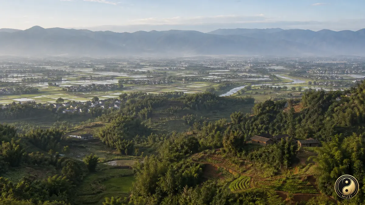
Deyang holds the Sanxingdui ruins of the ancient Shu civilization, along with Mianzhu New Year paintings and a major heavy-equipment manufacturing base.
Prefecture-level
Mianyang, China's Science City, includes Li Bai's hometown of Jiangyou, the Qiqu Mountain Temple of Zitong and the Qiang county of Beichuan.
 Prefecture-level
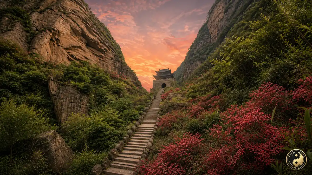
Guangyuan guards the Shu Road at Jianmen Pass, with Huangze Temple honoring Empress Wu Zetian and the Thousand-Buddha Cliff along the Jialing River.
Prefecture-level
Suining, hometown of Guanyin lore, has Guangde and Lingquan temples, the floating salt lake called China's Dead Sea in Daying, and Chen Zi'ang's Shehong.
Prefecture-level
Neijiang, the Sweet City of sugarcane and birthplace of painter Zhang Daqian, keeps the Zizhong Confucian Temple and Longchang's stone memorial archways.
 Prefecture-level
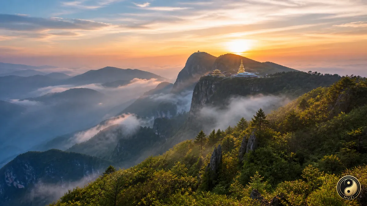
Leshan pairs the Mount Emei and Leshan Giant Buddha World Heritage site with three converging rivers and the Jiayang narrow-gauge steam railway in Qianwei.
 Prefecture-level
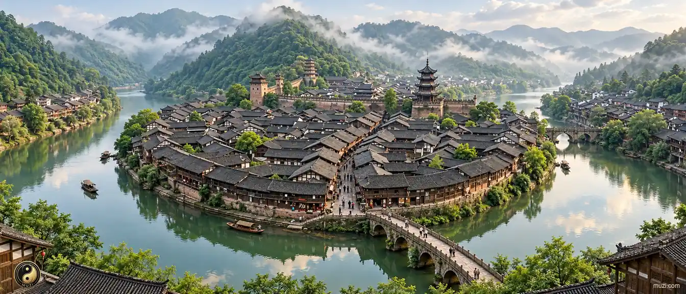
The Jialing River runs through Nanchong, known as a silk capital, home to the ancient city of Langzhong and Zhu De's hometown in Yilong.
Prefecture-level
Meishan, hometown of Su Dongpo, honors the three Su writers at Sansu Shrine and offers Mount Wawu, Pengzu Mountain and Qingshen bamboo weaving.
Prefecture-level
Yibin, first city on the Yangtze, is famed for Wuliangye liquor, the Shunan Bamboo Sea and the karst Stone Sea of Xingwen.
Prefecture-level
Guang'an is the hometown of Deng Xiaoping, whose former residence stands in Xiexing, with the peaks of Mount Huaying and the Jialing River at Wusheng.
Prefecture-level
Dazhou, homeland of the ancient Ba people, holds the Luojiaba site in Xuanhan, Han-dynasty stone towers of Qu County and the Puguang gas field.
Prefecture-level
Ya'an, the Rain City, grows Mengding Mountain tea and includes Baoxing's Dengchigou, where the giant panda was first scientifically described.
Prefecture-level
Bazhong is known for the red autumn leaves of Mount Guangwu, the Sichuan-Shaanxi revolutionary base in Tongjiang and Tang-dynasty carvings at the Nankan Grottoes.
Prefecture-level
Ziyang yielded the prehistoric Ziyang Man fossil and includes Anyue's Tang-dynasty reclining Buddha carvings and Lezhi, birthplace of Marshal Chen Yi.
 Prefecture-level
Ngawa holds the World Natural Heritage sites of Jiuzhaigou and Huanglong, along with the Zoige grasslands and Mount Siguniang.
Prefecture-level
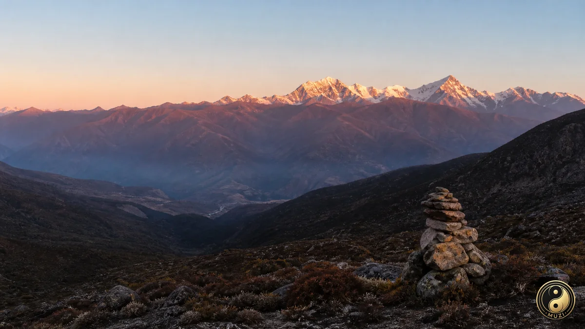
Garze is crowned by Minya Konka, king of Sichuan's mountains, and known for Yading in Daocheng, Hailuogou Glacier and the Derge Sutra Printing House.
Prefecture-level
Liangshan celebrates the Yi Torch Festival, with Qionghai Lake beside Xichang, the Xichang Satellite Launch Center and Mosuo culture at Lugu Lake.
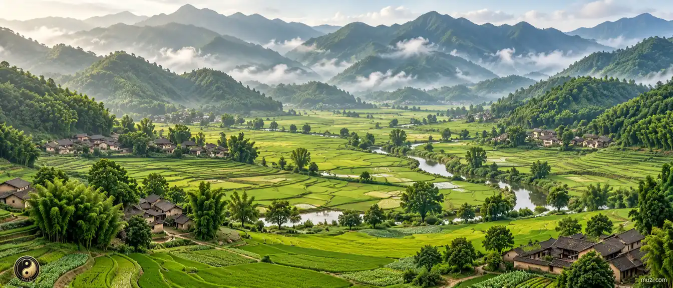
A purple-soil basin ringed by mountains on all sides — the cradle of the Land of Abundance, a natural sanctuary and rear granary for dynasties in chaos.
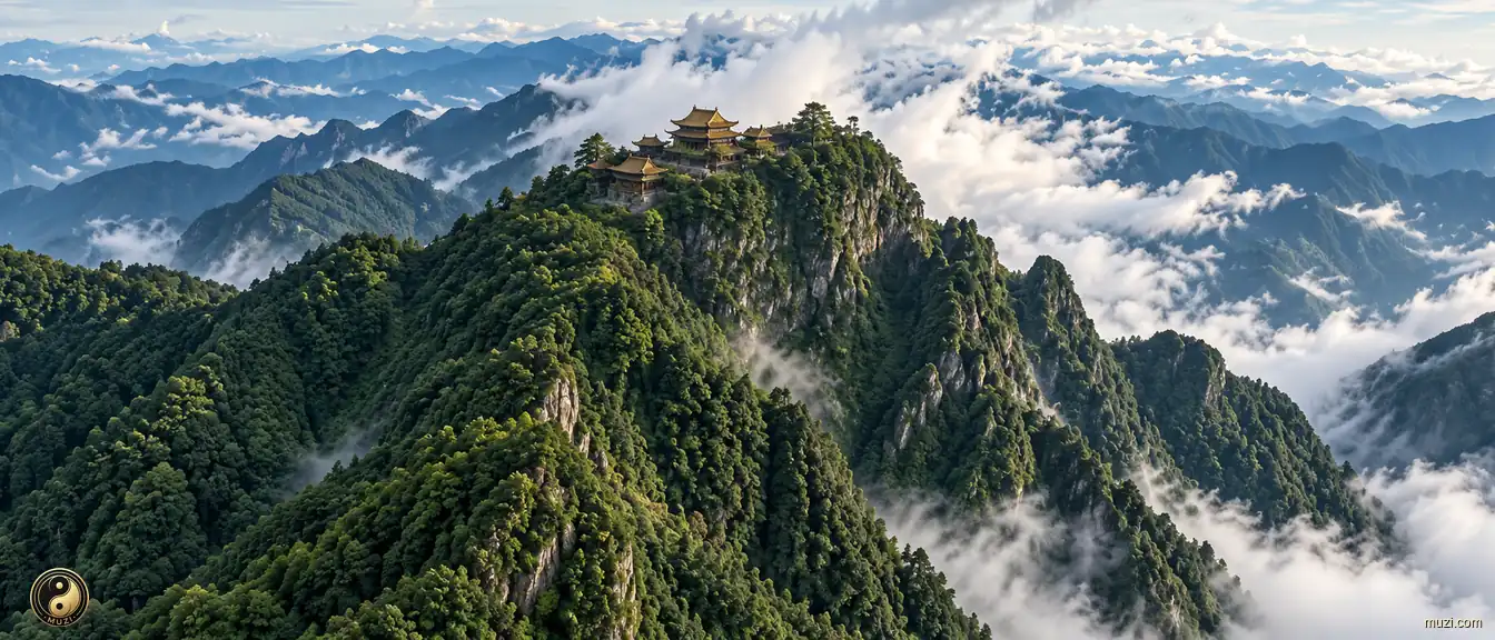
Golden summit Buddha's light reflected in a sea of clouds — a vertical cliff soaring three thousand meters, four seasons in one mountain, ten landscapes in ten miles.
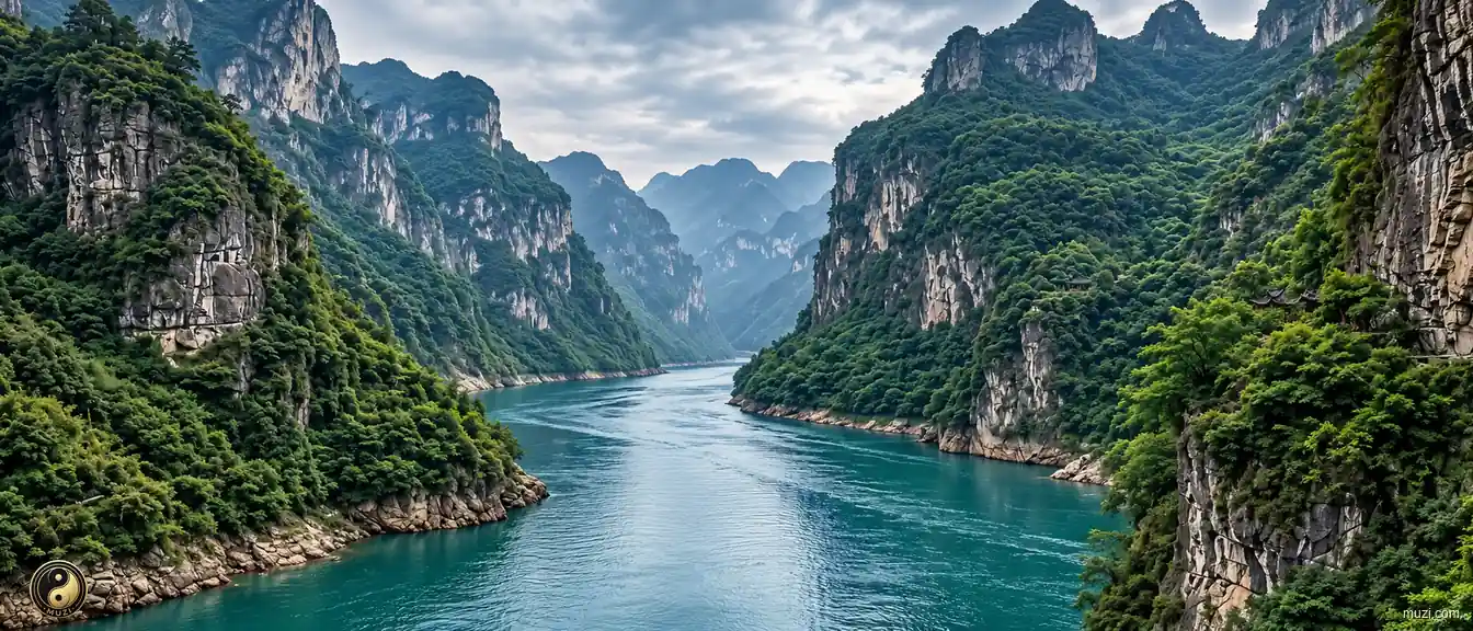
Asia's longest river, flowing six thousand kilometers from the Tibetan Plateau to the East China Sea — the aorta and golden waterway of Chinese civilization.
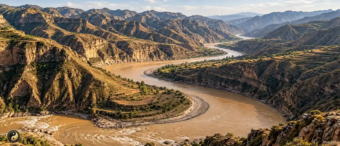
The Yellow River carries loess to the sea and remains a major river in the history of Chinese agrarian civilization.
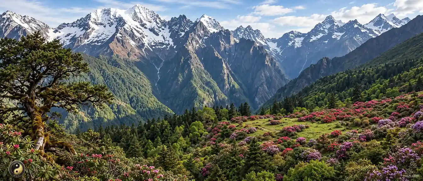
Several thousand meters of vertical drop compress tropical to frigid ecosystems onto a single mountain — an ultimate three-dimensional ecological corridor where one mountain holds all four seasons.
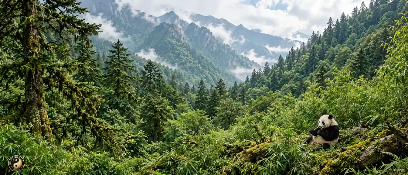
The last home of the giant panda — the bamboo forests of the Min and Qionglai ranges provide the ultimate refuge for this low-metabolic-rate marvel of evolution.
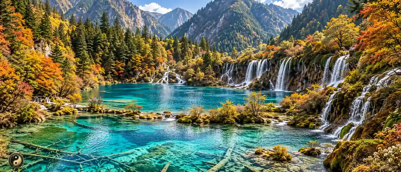
A fairyland of travertine pools and colorful forests — a pristine world deep in the highlands, a dazzling jewel of UNESCO World Natural Heritage.
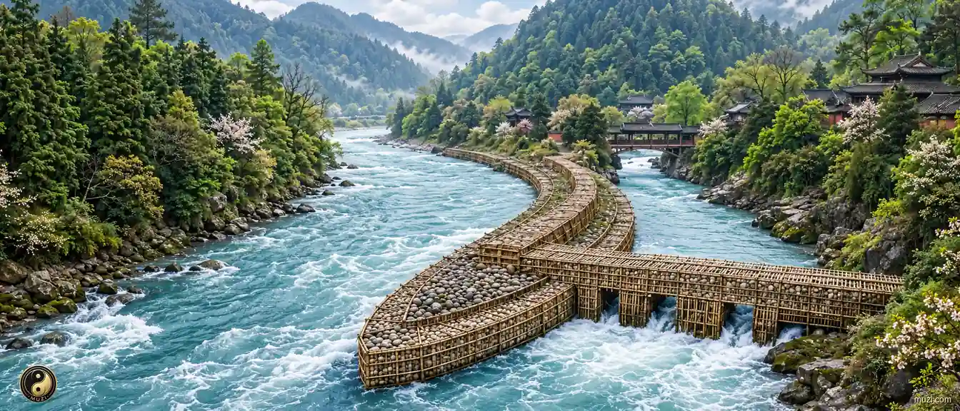
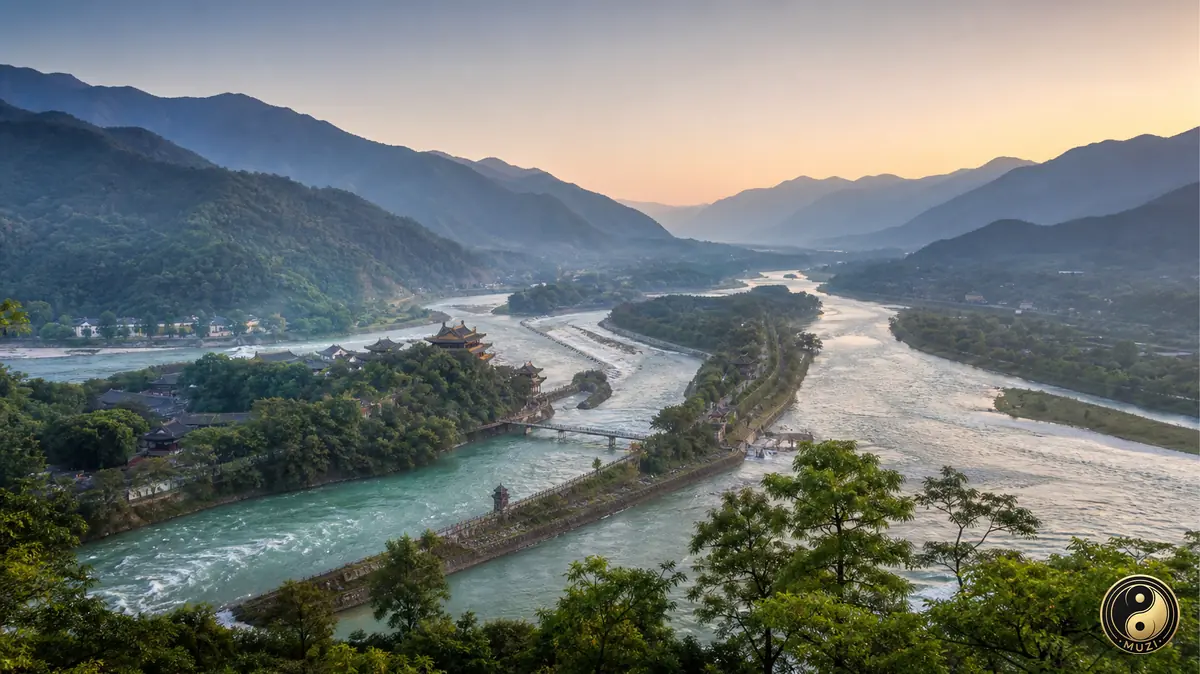
A two-thousand-year-old dam-free irrigation miracle — the fish-mouth divider, the flying-sand weir, and the bottle-neck channel still irrigating the Chengdu Plain's Land of Abundance today.
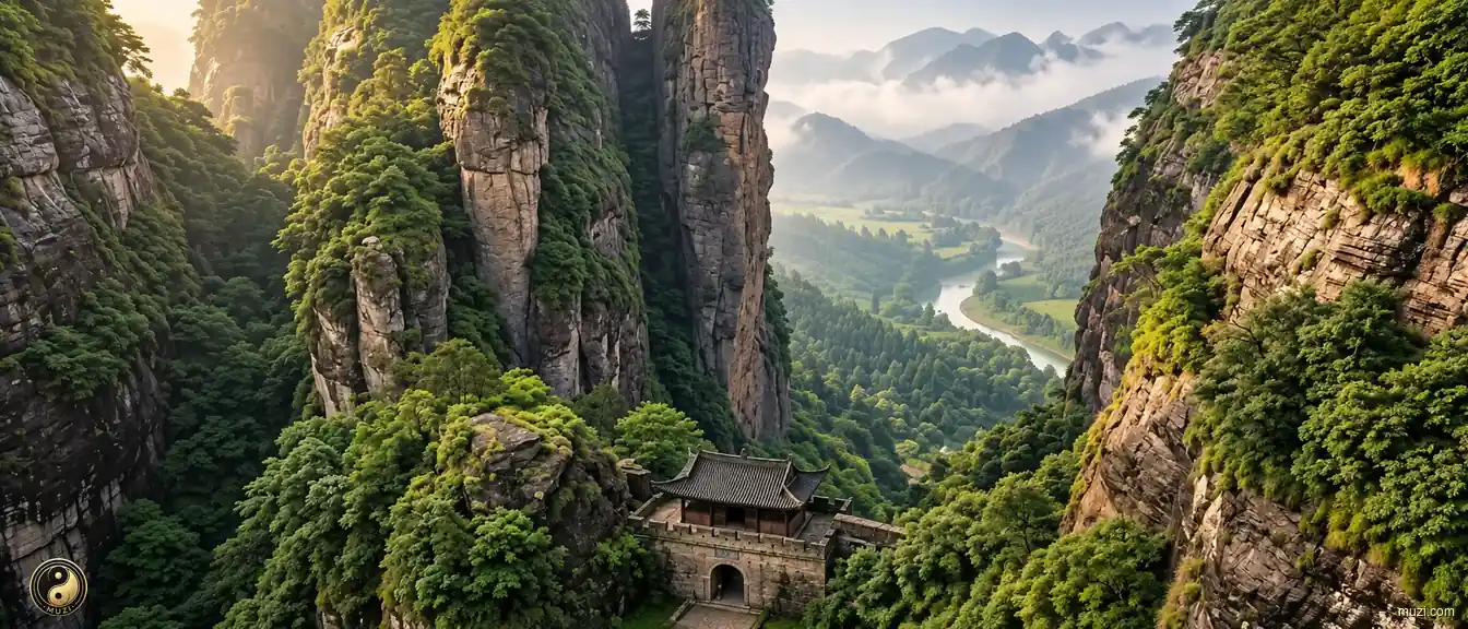
Seventy-two peaks standing like blades in confrontation where the Daba Mountains fractured — the only passage into Shu, nature's security black-box for separatist regimes.
Langzhong at the great omega bend of the Jialing River — ringed by mountains on four sides and water on three, the ultimate living specimen of classical Chinese fengshui site-selection algorithm.
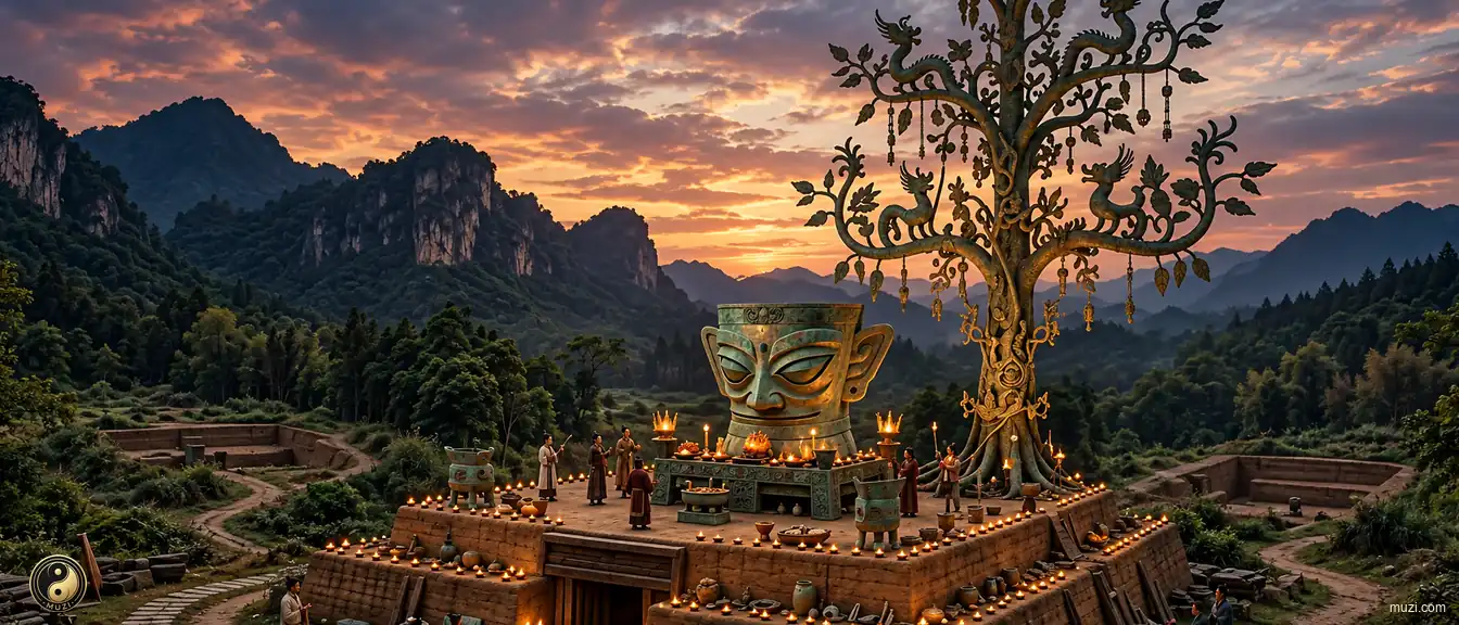
The Sanxingdui ruins — a bronze sacred tree and golden masks that stunned the world, a mysterious ancient Shu civilization center operating on a completely different ritual logic from the Yellow River basin.
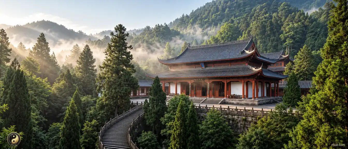
Qingcheng, the most tranquil place under heaven — one of Daoism's birthplaces, where temples dissolve seamlessly into primeval forest, pursuing zero-impedance harmony with the natural world.
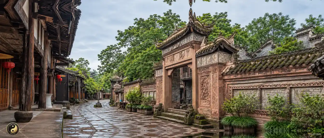
Luodai's Hakka guildhalls, foodways, and community traditions anchor a cultural town west of Chengdu.
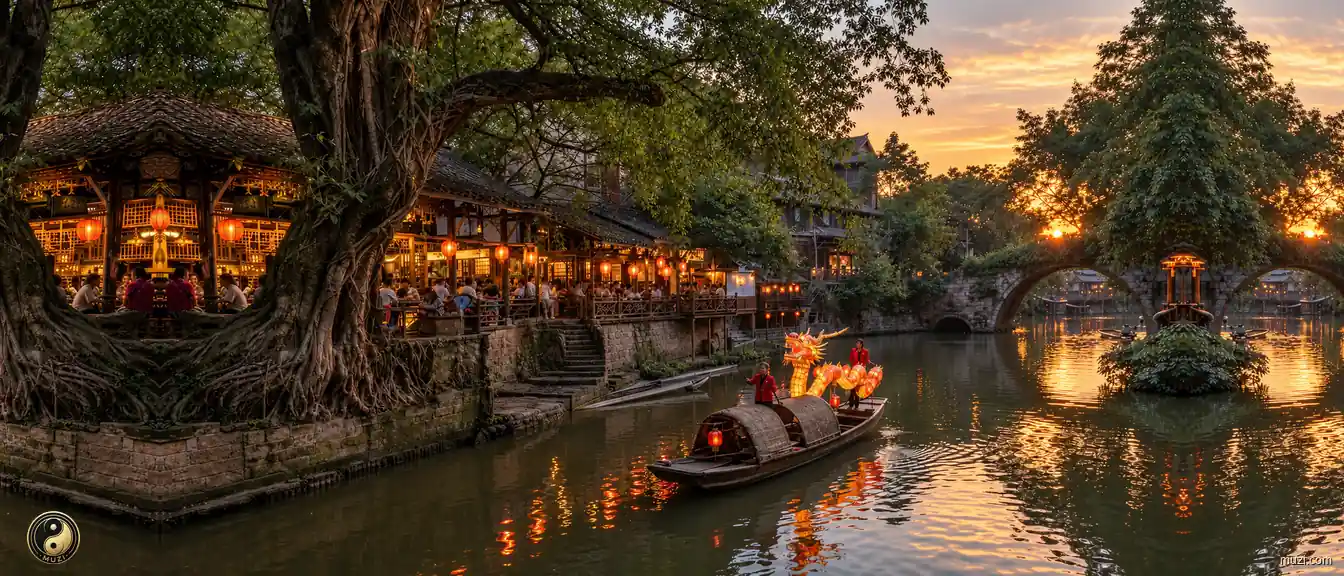
Best-preserved thousand-year-old river-wharf town in western Sichuan; ancient banyan trees and stilted houses line the Fu River; fire-dragon lantern dance and 'one-noodle' are the town's living cultural icons.
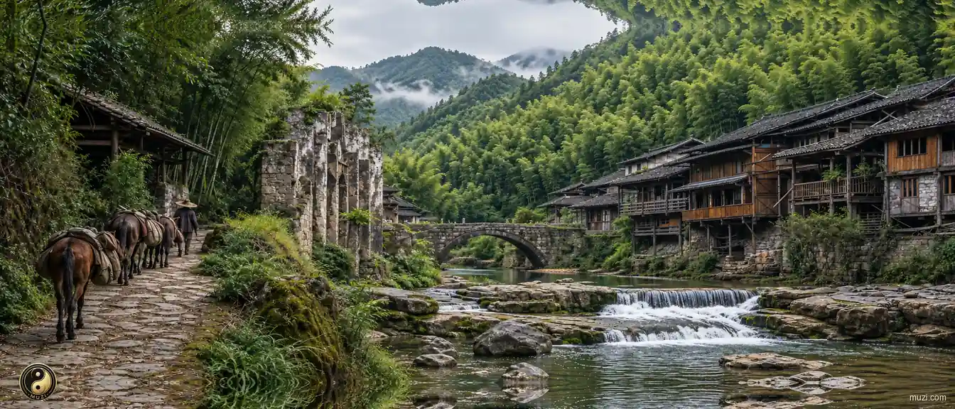
Top-ranked town in western Sichuan on the Ancient Tea Horse Road; Qin-Han post roads and ancient paper-making workshops survive; ten thousand mu of bamboo sea encircles the town like a green wall.
They plan deeply and think far ahead, hasten to meet the state's emergencies, and delight in fulfilling the duty of subjects.
