





































 Prefecture-level
Hohhot
Hohhot, the Blue City, keeps the Dazhao Temple and the Tomb of Wang Zhaojun, and is widely known as China's dairy capital.
 MUZIChinese Matrix

A highland belt stretching across northern China, where grasslands and deserts support diverse frontier communities.
For Inner Mongolia, the relationship between place and life becomes visible in “A highland belt stretching across northern China, where grasslands and deserts support diverse frontier communities.” This evidence connects landform, movement, settlement, and cultural expression instead of treating them as isolated details. The present profile of Inner Mongolia reflects environmental adaptation and local stewardship built up over an extended period rather than a short-lived change. This process explains how Inner Mongolia remains connected to its surrounding region while retaining a recognizable local character. That is why Inner Mongolia matters: local detail can illuminate environmental setting, social process, and cultural memory together.
Prefecture-level
Hohhot, the Blue City, keeps the Dazhao Temple and the Tomb of Wang Zhaojun, and is widely known as China's dairy capital.
Prefecture-level
Baotou, the Deer City, is known for Bayan Obo's rare-earth deposits, the Wudang Lamasery and the Yellow River wetlands.
Prefecture-level
The Yellow River runs through Wuhai, where Wuhai Lake mirrors Mount Ganderl and the city is known as China's Calligraphy City.
 Prefecture-level
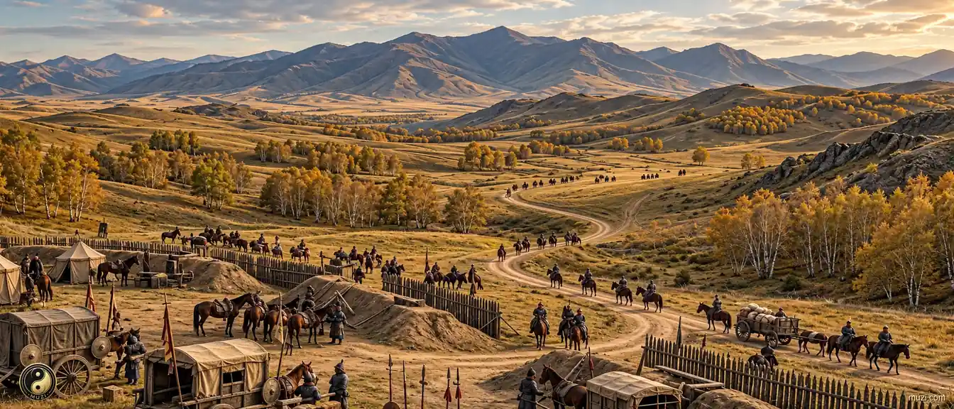
Chifeng gave its name to the Neolithic Hongshan culture and is known for the Liao Shangjing ruins and the Asihatu granite stone forest of Hexigten.
Prefecture-level
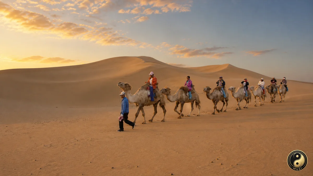
Tongliao, homeland of the Andai dance on the Horqin grasslands, offers the Daqinggou forest ravine and the three historic monasteries of Hure Banner.
 Prefecture-level
Ordos holds the Mausoleum of Genghis Khan in Ejin Horo, the singing dunes of Xiangshawan and the new city of Kangbashi amid rich coal fields.
 Prefecture-level
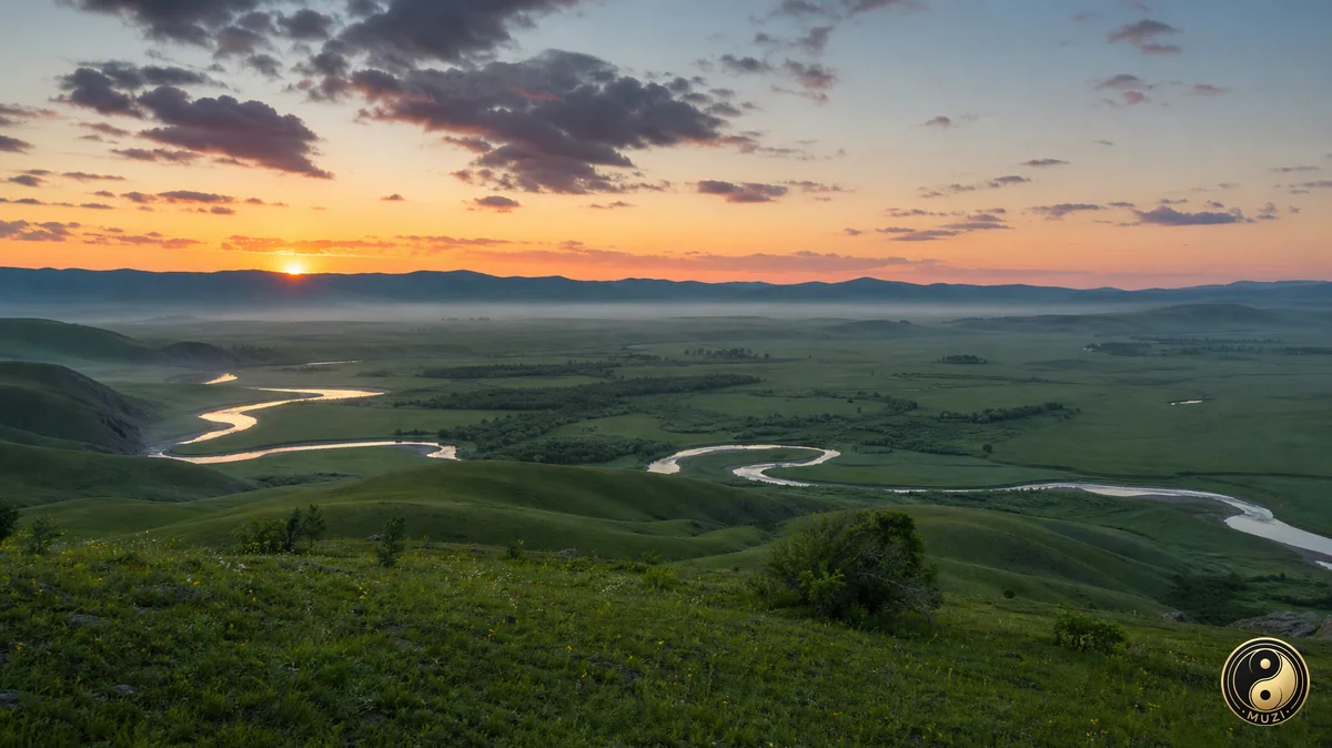
Hulunbuir spans vast grasslands, the Ergun wetlands, the Manzhouli border port and the forests of the Greater Khingan Range.
Prefecture-level
Bayannur farms the irrigated Hetao Plain and holds Ulansuhai Lake, the Yinshan rock paintings and the Ulan Buh Desert at Dengkou.
Prefecture-level
Ulanqab, China's potato capital, offers the flowered Huitengxile grassland, Daihai Lake in Liangcheng and the smoked chicken of Zhuozishan.
Prefecture-level
Hinggan League is known for Arxan's volcanic hot springs and crater lakes, the Genghis Khan Temple in Ulanhot and the open Horqin grasslands.
 Prefecture-level
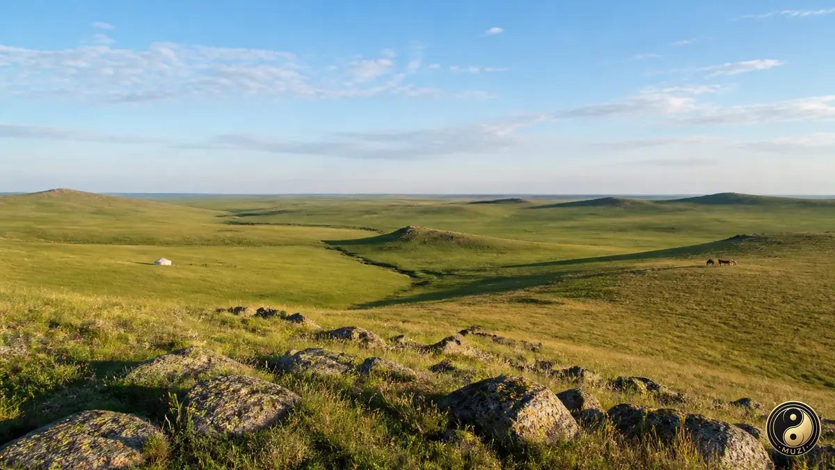
Xilingol's grasslands hold the Yuan Shangdu ruins of Xanadu, a World Heritage site, and Erenhot, famed for dinosaur fossils on the Mongolian border.
 Prefecture-level
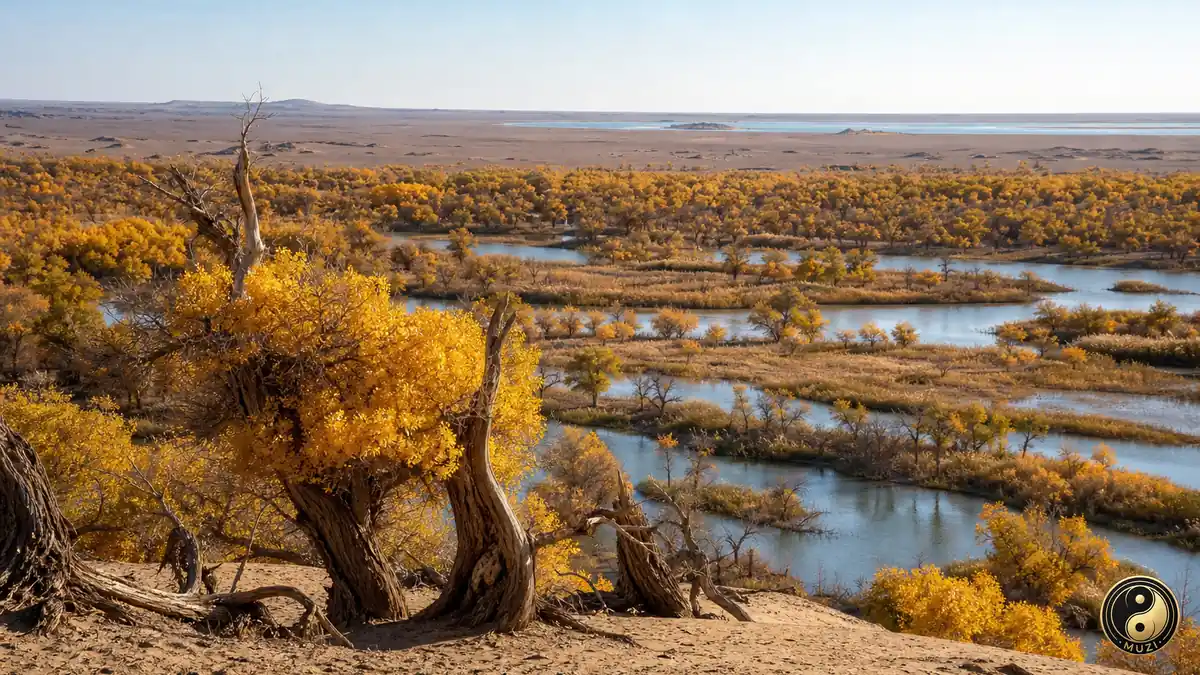
Alxa encompasses the towering dunes and lakes of the Badain Jaran Desert, the golden poplar forests of Ejin and the ruins of Khara-Khoto.
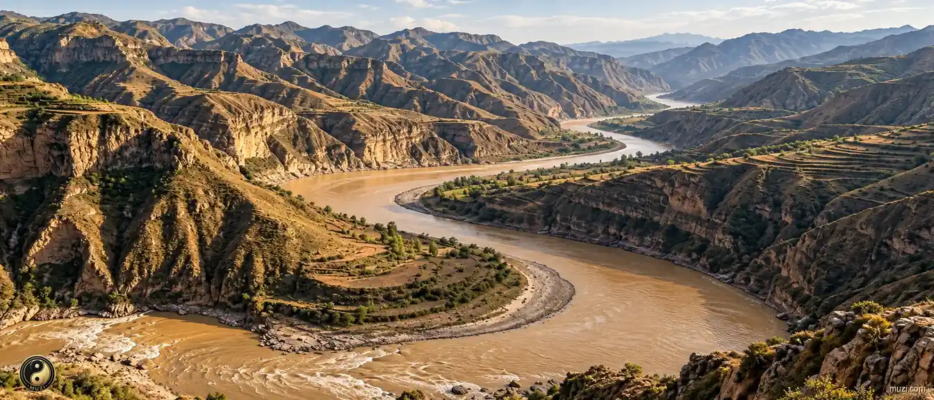
The Yellow River carries loess to the sea and remains a major river in the history of Chinese agrarian civilization.
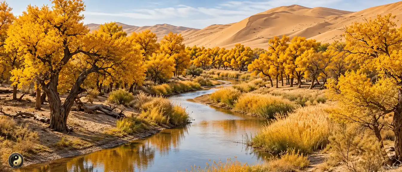
A poplar forest belt on the edge of the Badain Jaran Desert — living a thousand years, standing dead a thousand more, the iron-blooded warrior fighting desertification at the front line.
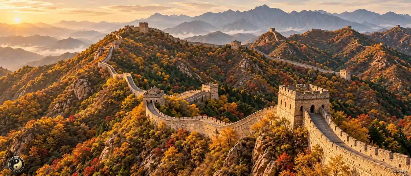
The longest military fortification in human history — winding ten thousand li along the northern ridges, guarding the boundary of agrarian civilization for two millennia.
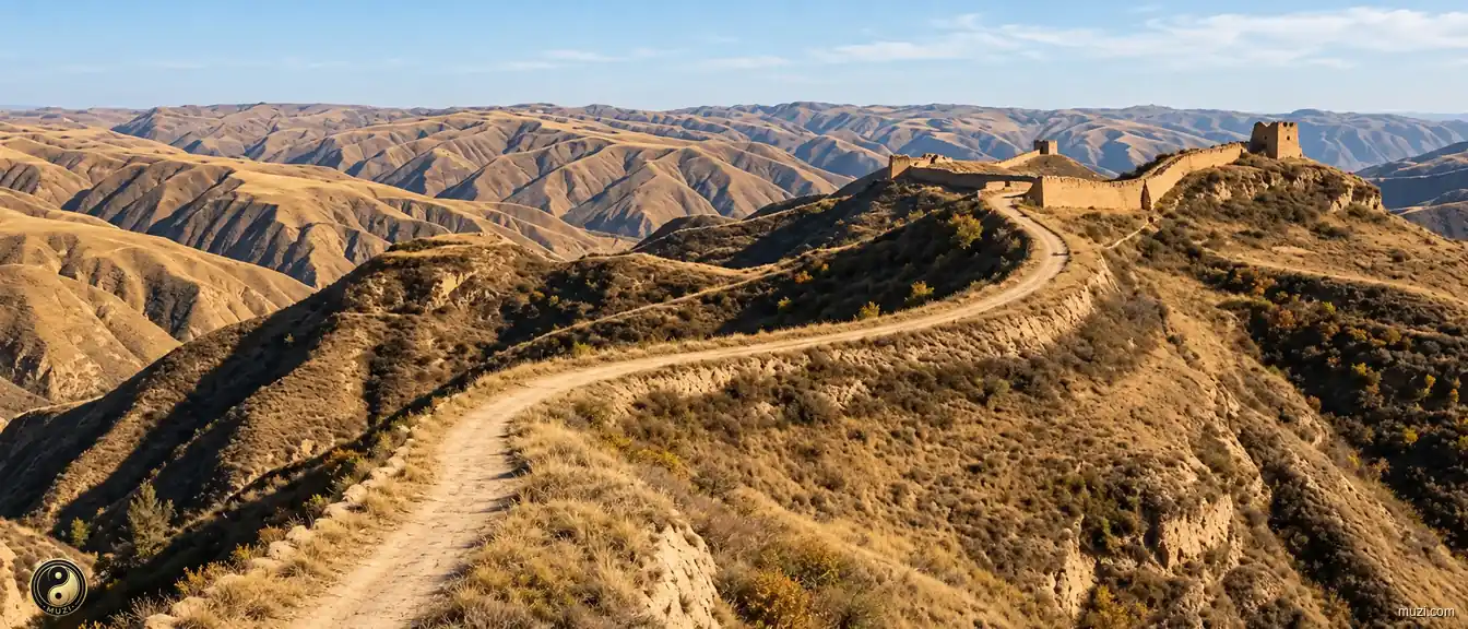
The ancient expressway built by Qin Shi Huang — a geometric military corridor stretching seven hundred kilometers straight along the loess ridge, enabling cavalry to reach the frontier in three days.
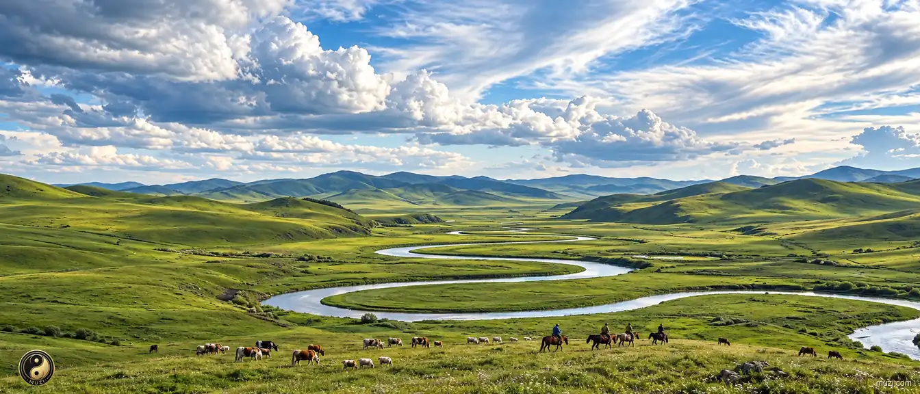
Hulunbuir's broad natural grasslands supported pastoral life and supplied horses and livestock beyond the Great Wall.
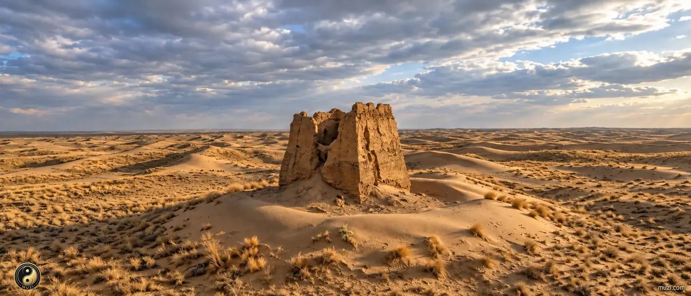
The semi-arid plateau enclosed by the Yellow River's great horseshoe bend — a suspended sword over Guanzhong and the Central Plains, the drill ground where farmers and herders clashed across history.
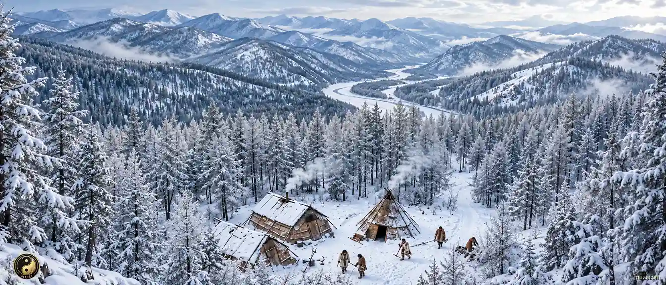
The steep ecological fault where taiga forest transitions abruptly to arid Mongolian steppe — the evolutionary cradle from which northern nomadic, hunting, and fishing peoples emerged from the forest onto the grassland to begin their conquest of the Central Plains.
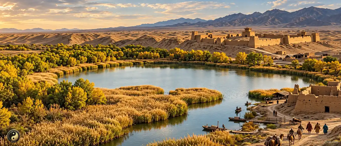
A terminal oasis where the Heihe River dies into the Badain Jaran Desert — the Han dynasty's extreme northern outpost, where military wooden slips were unearthed, a forward server of the Qin-Han empire in the Gobi.
The grand grassland battlefield where the Kangxi Emperor personally led his army to crush the Zunghar threat — a rolling meadow arena that decided the final shape of the empire's northern frontier.
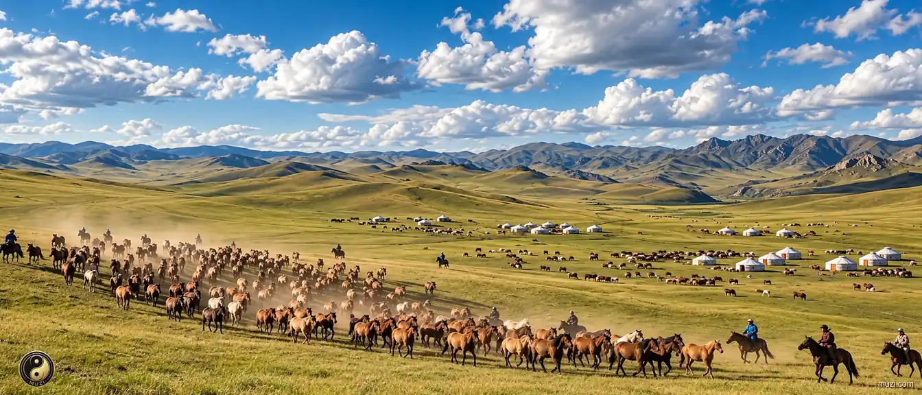
The quintessential temperate steppe of the Inner Mongolian Plateau core — the central stage and geopolitical buffer zone of nomadic courts through Yuan, Ming, and Qing dynasties.
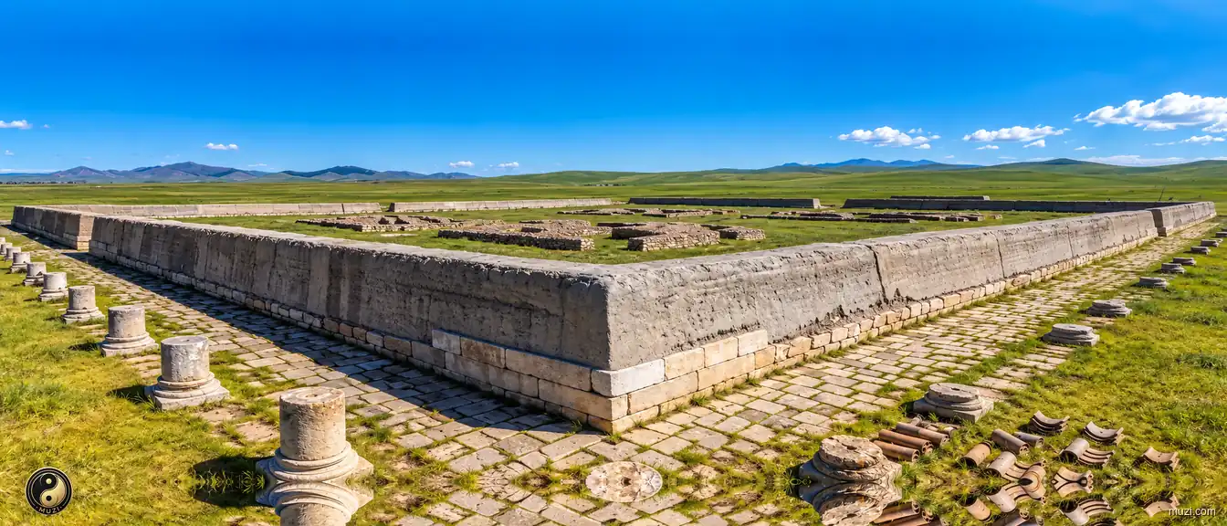
The Yuan Upper Capital ruins — a surreal dual capital nesting the rectangular Han axial grid within the circular nomadic tent ethic on the vast grassland, the northern power gateway of the Mongol empire.
The Chile Plains beneath Mount Yinshan. The sky is like a grand yurt canopy covering all four wildernesses. The blue heaven is boundless, the vast wilderness unending—the wind blows, grass bends low, and cattle and sheep appear.