





 County-level
Men Yuan Hui Zu Autonomous County
Glaciated summits of Mount Gangshika tower above the golden midsummer rapeseed blossom plains framing the winding Haomen River.
 MUZIChinese Matrix
highland scenery and pastoral culture offers the clearest regional clue to Haibei Tibetan Autonomous Prefecture.
A useful starting point for Haibei is the documented fact “Highland scenery and pastoral culture offers the clearest regional clue to Haibei Tibetan Autonomous Prefecture.” The natural conditions and social experience of Haibei therefore belong to one connected geographic story. Communities responded to surrounding conditions through residence, exchange, and daily practice, giving the spatial pattern a traceable history. The chain from environmental conditions to social practice gives the regional change of Haibei a clear real-world expression. Taken together, these clues clarify the position, change, and distinctive contribution of Haibei within the larger region.
County-level
Glaciated summits of Mount Gangshika tower above the golden midsummer rapeseed blossom plains framing the winding Haomen River.
County-level
Scarlet Danxia cliffs of Mount Zhuoer overlook boundless alpine pastures, where historic Arou Temple sits nestled beneath snow-capped peaks.
County-level
Ancient rammed ramparts of the Han-dynasty Xihai commandery overlook Jinyintan Grassland, stretching southward to the quiet shores of Qinghai Lake.
County-level
Crystal rivers flow into Qinghai Lake at Gangcha, where migrating naked carp and nesting bird sanctuaries gather on the northern shore.
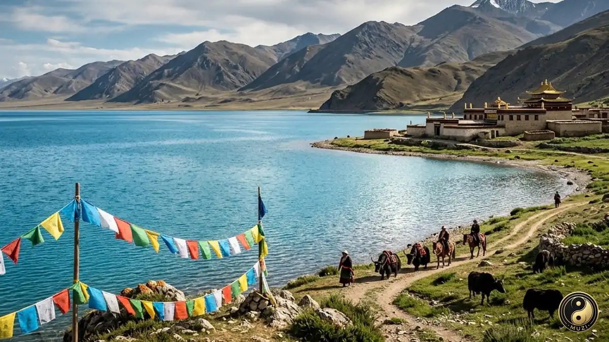
Qinghai Lake is a vast inland salt lake whose Tibetan name means 'turquoise sea,' a refuge for migratory birds on the Plateau.
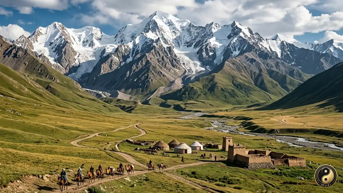
A high-altitude glacier belt straddling the south side of the Hexi Corridor — its endless frozen reservoir drip-irrigating the entire lifeline of the Silk Road.
A narrow peninsula shaped like a long sword reaching into the deep sapphire waters of China's largest lake.
View attraction
A world-renowned sanctuary where tens of thousands of bar-headed geese and gulls breed on isolated rocky isles.
View attraction
A solitary rocky island in the center of the lake, serving for centuries as a sacred retreat for hermits.
View attraction
A serene bay known as Fairy Cove, premier winter sanctuary for migrating whooper swans across the plateau.
View attraction
A surreal desert-lake landscape where soaring yellow sand dunes border crystal blue waters.
View attraction