Spatial Framework & Civilizational Geography · Prefecture-level

Nantou County

Follow lakeside wetlands and water-town craft, and Nantou County's regional layers come into view.

Regional story

A place shaped through time

For Nantou County, the relationship between place and life becomes visible in “Follow lakeside wetlands and water-town craft, and Nantou County's regional layers come into view.” This evidence connects landform, movement, settlement, and cultural expression instead of treating them as isolated details. The present profile of Nantou County reflects environmental adaptation and local stewardship built up over an extended period rather than a short-lived change. This process explains how Nantou County remains connected to its surrounding region while retaining a recognizable local character. That is why Nantou County matters: local detail can illuminate environmental setting, social process, and cultural memory together.


Nantou County

Atlas Matrix

2 Matrix Entries
Sun Moon Lake

Sun Moon Lake

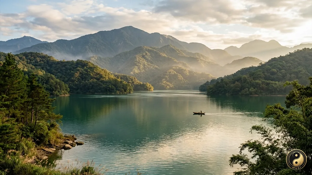
Taiwan's largest natural lake, a sapphire jewel embraced by mountains — gauzy morning mist, fiery sunset glow, the sacred waters where the Thao ancestral spirits rest.

Attractions available · 5 View Entry
Taiwan Island

Taiwan Island

Huaxia's largest island, an emerald western-Pacific screen where ecosystems run from tropical rainforest to alpine tundra.

Attractions available · 1 View Entry
Nantou County

Atlas Attractions

6 entries
Lalu Island

Lalu Island

The sacred ancestral spiritual sanctuary of the Thao indigenous people, dividing the lake into sun and moon shapes.

View attraction