Spatial Framework & Civilizational Geography · Prefecture-level

Penghu County

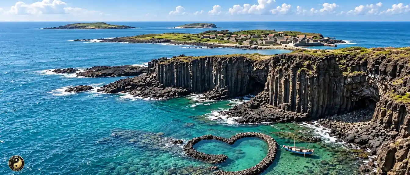
Penghu's islands display columnar basalt, the Penghu Great Bridge linking Baisha and Xiyu, and the Twin Hearts Stone Weir on Qimei.

Penghu Islands Featured picture Penghu Islands
Regional story

A place shaped through time

Within the regional setting of Taiwan, the spatial identity of Penghu County is first captured by this local fact: “Penghu's islands display columnar basalt, the Penghu Great Bridge linking Baisha and Xiyu, and the Twin Hearts Stone Weir on Qimei.” It points to an observable local combination in which the setting of Penghu County is shaped by both environment and lived practice. Historical development brought natural conditions and human activity into repeated negotiation, leaving traces in settlement, routes, and memory. Specific places and continuing lives turn a broad regional relationship into experience that can be observed and checked. The meaning of Penghu County rests in specific places and continuing life, not only in its name or formal classification.

Penghu County

Atlas Matrix

1 Matrix Entries
Penghu Islands

Penghu Islands

A chain of basalt islets in the middle of the Taiwan Strait — fishing lights and ancient village houses, the historic relay station and forward fortress between the two shores.

Attractions available · 4 View Entry
Penghu County

Atlas Attractions

4 entries
Penghu Tianhou Temple

Penghu Tianhou Temple

Taiwan's oldest Mazu temple and a national historic monument, Penghu Tianhou Temple holds the Ming stele recording Shen Yourong ordering the Dutch to withdraw.

View attraction