





 County-level
Ma Er Kang City
The monumental timber and stone courtyards of Zhuokeji Tusi Manor stand in Barkam along autumn maple gorges of the Suomo River.
 MUZIChinese Matrix
volcanic landforms and hot-spring scenery outline the local profile of Ngawa Tibetan and Qiang Autonomous Prefecture.
Within the regional setting of Sichuan, the spatial identity of Ngawa is first captured by this local fact: “Volcanic landforms and hot-spring scenery outline the local profile of Ngawa Tibetan and Qiang Autonomous Prefecture.” It points to an observable local combination in which the setting of Ngawa is shaped by both environment and lived practice. Historical development brought natural conditions and human activity into repeated negotiation, leaving traces in settlement, routes, and memory. Specific places and continuing lives turn a broad regional relationship into experience that can be observed and checked. The meaning of Ngawa rests in specific places and continuing life, not only in its name or formal classification.
County-level
The monumental timber and stone courtyards of Zhuokeji Tusi Manor stand in Barkam along autumn maple gorges of the Suomo River.
County-level
Bamboo-covered mountain ridges at Wolong Giant Panda Nature Reserve shelter wild giant panda families in Wenchuan above Shuimo Ancient Town 4A.
County-level
Snow-capped pyramid peaks at Bipenggou 4A, mineral hot springs at Gu'ergou, and ancient underground water labyrinths at Taoping Qiang Village 4A distinguish Lixian.
County-level
The grand ceremonial gates of Ancient Qiang City 4A overlook alpine wildflower meadows on Mount Jiudingshan and Diexi Lake in Maoxian.
County-level
Tiered golden travertine pools filled with turquoise glacier waters at Huanglong 5A UNESCO World Heritage shine below Mount Xuebaoding in Songpan.
County-level
Multi-tiered emerald lakes, roaring waterfalls of Nuorilang, and reflections of snow peaks at Jiuzhaigou 5A UNESCO World Heritage define Jiuzhaigou.
County-level
Hundreds of thousands of ancient snowy pear trees blanket terraced stone valley hamlets during spring across Dajinchuan River Gorge in Jinchuan.
County-level
Four soaring snow peaks of Mount Siguniang 5A UNESCO World Heritage overlook alpine valleys of Shuangqiaogou and Changpinggou in Xiaojin.
County-level
The highest passenger cableway in the world carries visitors to ancient ice fields at Dagu Glacier 4A in Heishui along brilliant Naizigou maple forests.
County-level
Intricate thangka scroll painting workshops and ancient stone stupas at Bangtuo Temple distinguish Zamtang along the serene Duke River.
County-level
Towering granite battlements and sacred glacial tarn lakes create fairy-tale landscapes at Mount Lianbaoyeze 4A in Aba on the Tibetan Plateau.
County-level
The grand sunset meander of the Yellow River First Bend and crystal waters of Lake Huahu 4A shelter endangered black-necked cranes in Zoige.
County-level
Crescent river meanders shimmer like a silver moon across vast summer grassland wildflower meadows at Moon Bay 4A in Hongyuan.
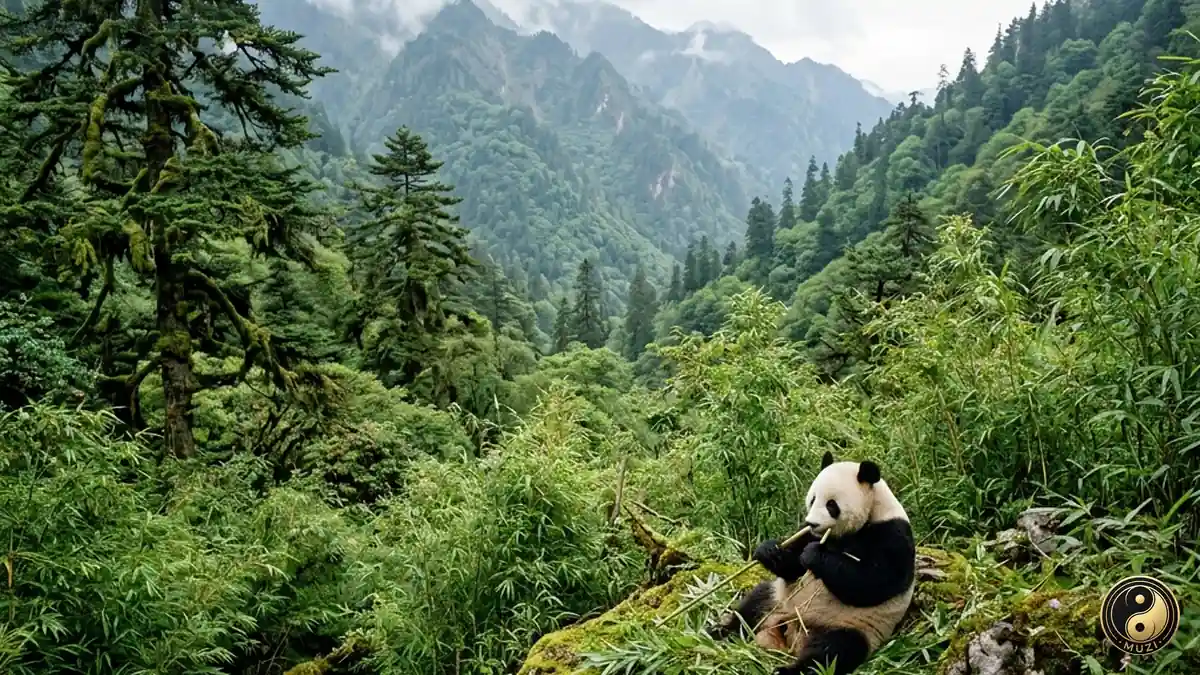
The last home of the giant panda — the bamboo forests of the Min and Qionglai ranges provide the ultimate refuge for this low-metabolic-rate marvel of evolution.
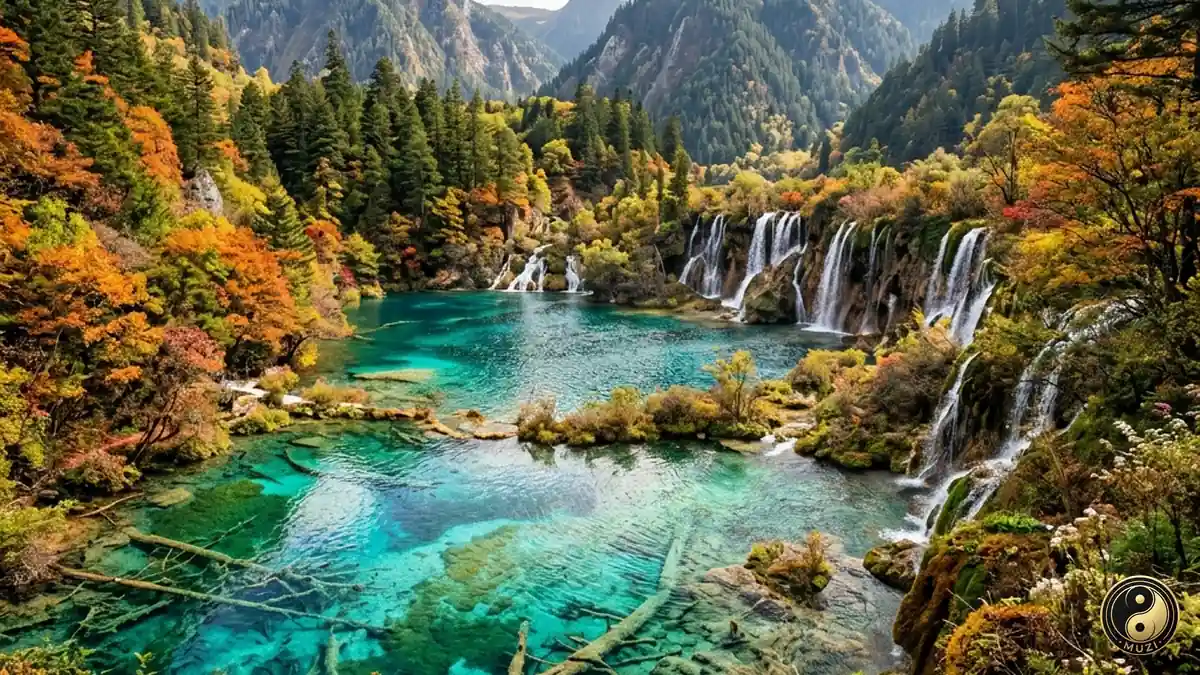
A fairyland of travertine pools and colorful forests — a pristine world deep in the highlands, a dazzling jewel of UNESCO World Natural Heritage.