





 County-level
Du Shan Zi District
The 200-meter sheer terrace chasms of Dushanzi Grand Canyon carve through foothills in Dushanzi, starting point of the heroic Duku Highway.
 MUZIChinese Matrix
Think of Karamay, and estuarine routes and port traditions are among the first things that come to mind.
A useful starting point for Karamay is the documented fact “Estuarine routes and port traditions are among the first things that come to mind.” The natural conditions and social experience of Karamay therefore belong to one connected geographic story. Communities responded to surrounding conditions through residence, exchange, and daily practice, giving the spatial pattern a traceable history. The chain from environmental conditions to social practice gives the regional change of Karamay a clear real-world expression. Taken together, these clues clarify the position, change, and distinctive contribution of Karamay within the larger region.
County-level
The 200-meter sheer terrace chasms of Dushanzi Grand Canyon carve through foothills in Dushanzi, starting point of the heroic Duku Highway.
County-level
Natural bubbling asphalt seeps at Black Oil Mountain mark the historic origins of Karamay, commemorated by the iconic No. 1 Well monument.
County-level
Countless nodding pumping jacks spread across vast desert expanses in Baijiantan, bordered by the reed waters of Lake Jinlonghu.
County-level
Colossal wind-carved yardang towers at Urho World Ghost Town resemble enchanted fortresses in Urho, beside golden Populus forests at Lake Ailik.
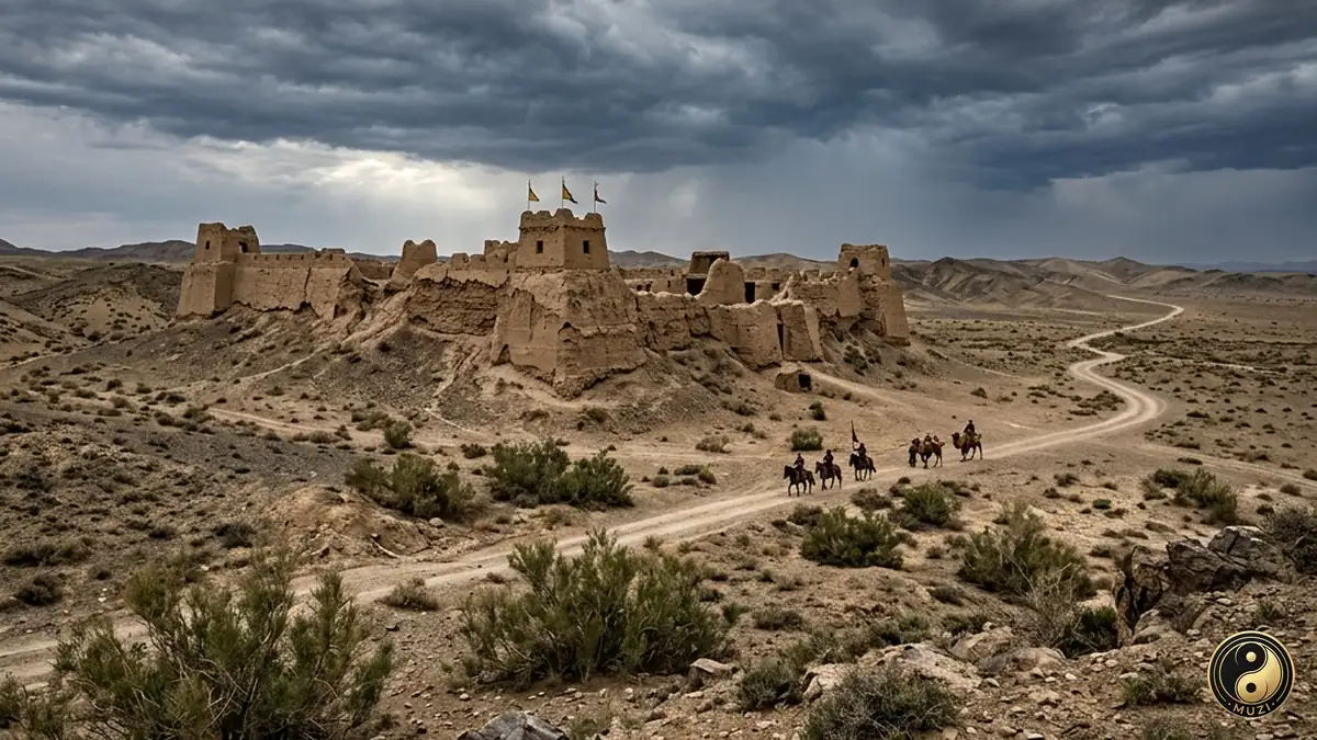
A semi-enclosed basin pinched between the Altai and Tianshan ranges — with lush pastures and a strategic position, the core base of successive nomadic empires.