





 County-level
Hong Shan District
Crimson sandstone bluffs at Mount Hongshan Forest Park in Hongshan mark the cradle of Neolithic Hongshan jade culture.
 MUZIChinese Matrix
For Chifeng, Hongshan culture and the Horqin grasslands forms an essential setting.
Within the regional setting of Inner Mongolia, the spatial identity of Chifeng is first captured by this local fact: “Hongshan culture and the Horqin grasslands forms an essential setting.” It points to an observable local combination in which the setting of Chifeng is shaped by both environment and lived practice. Historical development brought natural conditions and human activity into repeated negotiation, leaving traces in settlement, routes, and memory. Specific places and continuing lives turn a broad regional relationship into experience that can be observed and checked. The meaning of Chifeng rests in specific places and continuing life, not only in its name or formal classification.
County-level
Crimson sandstone bluffs at Mount Hongshan Forest Park in Hongshan mark the cradle of Neolithic Hongshan jade culture.
County-level
Ancient stone ramparts of Liao-dynasty Sanhan County Site at Xinglongpo Village and grasslands along the Laoha River distinguish Yuanbaoshan.
County-level
Permian plant fossil beds preserve a prehistoric botanical Pompeii in Wuda, alongside bird-rich wetlands at Wulannuoer.
County-level
In the late Ming, this land belonged to the Chahar; the ruins of Ligdan Khan's capital, Wacha'ertu Chahan, survive at Hansumu.
County-level
Liao Shangjing, Zuzhou's ancestral tombs, Zhenji Temple Grottoes, the Han Kuangsi family cemetery, and Jin frontier ditches form a rich archaeological landscape.
County-level
Bayan Tala and Masitala grasslands, Hairiqige Valley, and the Liao-era Black Mountain and Black River landscapes define the banner's steppe heritage.
County-level
The Dajing Bronze Age metallurgical site preserves evidence of copper working from roughly 2,700 years ago.
County-level
Keshigten is Chifeng's northernmost and highest-elevation banner, distinguished by its broad upland setting.
County-level
The area is a cradle of Neolithic Hongshan culture and of the Khitan people who later founded the Liao empire.
County-level
Kharachin lies south of Chifeng where Inner Mongolia, Hebei, and Liaoning meet near the Bohai rim.
County-level
Ningcheng's past reaches back to Neolithic Hongshan culture; in the early Republican era, Pingquan Prefecture became Pingquan County.
County-level
Aohan's dryland farming system is recognized by the UN Food and Agriculture Organization as a Globally Important Agricultural Heritage System.
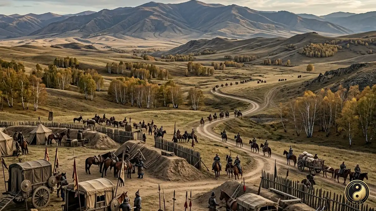
The grand grassland battlefield where the Kangxi Emperor personally led his army to crush the Zunghar threat — a rolling meadow arena that decided the final shape of the empire's northern frontier.