Spatial Framework & Civilizational Geography · Prefecture-level

Guilin

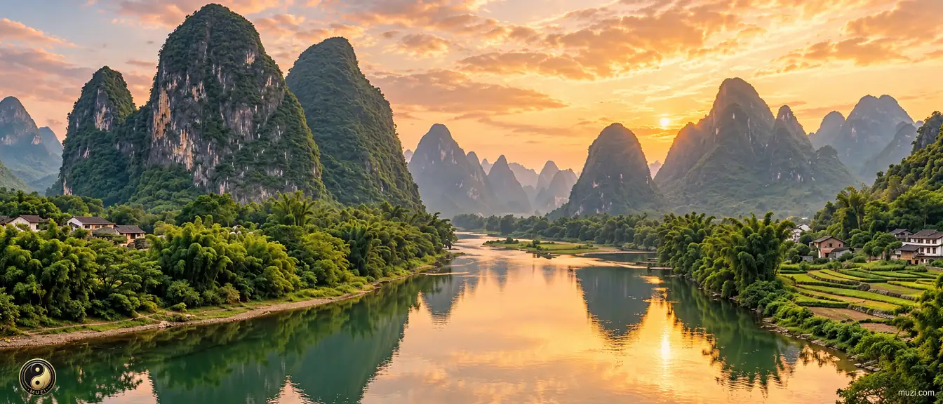
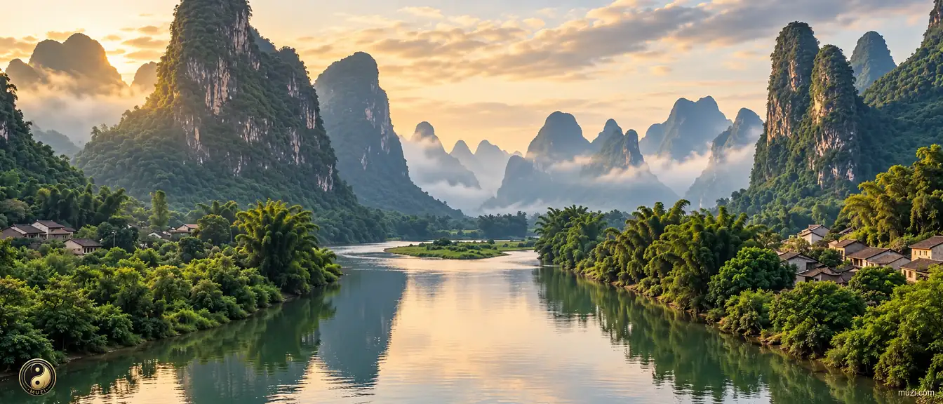
Guilin's karst scenery is proverbial, from the Li River gallery and Elephant Trunk Hill to bamboo rafts on Yangshuo's Yulong River.

Regional story

A place shaped through time

The regional profile of Guilin begins with the concrete evidence “Guilin's karst scenery is proverbial, from the Li River gallery and Elephant Trunk Hill to bamboo rafts on Yangshuo's Yulong River.” The clue links spatial form with everyday experience, giving the regional idea a concrete setting and human scale. Long-term change preserved, adjusted, and transmitted these relationships, showing how environmental influence and community action worked together. These interactions provide a factual basis for understanding the connections, distinctions, and continuities between Guilin and nearby places. Its significance lies in connecting regional geography, historical continuity, and cultural difference through checkable local evidence about Guilin.

Guilin

Affiliated Regions

17 counties
Guilin County-level

Xiu Feng District

Solitary Beauty Peak crowns the Ming royal Jingjiang Princes Palace in Xiufeng, where Song scholar Wang Zhenggong engraved the famous verse on Guilin scenery.

Guilin County-level
Lin Gui District

Limestone peak shadows reflect in reed canals at Huixian Karst Wetland in Lingui, ancestral home to imperial top scholars and Li Zongren Residence.

Guilin County-level

Yang Shuo County

Limestone karst peaks along Li River at Xingping inspired the 20-yuan banknote scene in Yangshuo, world-famous for bamboo rafting on Yulong River.

Guilin County-level
Xing An County

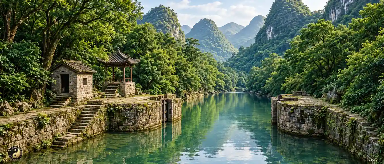
The 2,200-year-old Lingqu Canal connects the Yangtze and Pearl river systems in Xing'an, beneath South Region highest peak Mount Mao'ershan.

Guilin County-level

Yong Fu County

Sweet monk fruit Luo Han Guo thrives as a medicinal harvest in Yongfu, home to ancient calligraphic Longevity Inscriptions on Mount Baishouyan.

Guilin County-level
Zi Yuan County

Majestic crimson Danxia escarpments of Mount Bajiaozhai tower above mist oceans in Ziyuan, bordering rafting waters along the scenic Zijiang River.

Guilin County-level

Ping Le County

Three rivers meet beneath banyan canopies where the Li, Li, and Cha merge in Pingle, acclaimed for savory stuffed specialties of Pingle 18 Feasts.

Guilin County-level

Li Pu City

Glistening calcite cascades inside Silver Cave Karst Cavern dazzle visitors in Lipu, acclaimed worldwide for tender sweet steamed Lipu Taro roots.

Guilin

Atlas Matrix

3 Matrix Entries
Guilin Landscape

Guilin Landscape

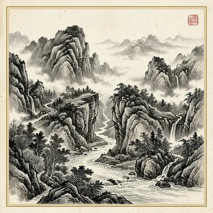
Karst peaks and the Li River make Guilin a classic Chinese ink-wash landscape.

Attractions available · 2 View Entry
Li River

Li River

The Li River winds through karst peaks, its reflections sustaining a classic landscape-painting tradition.

Lingqu Canal

Lingqu Canal

The Lingqu Canal crosses the Xiang-Li watershed to connect the Yangtze and Pearl River systems as an early cross-basin waterway.

Guilin

Atlas Attractions

2 entries

Related Literature

1

Mentions1